File:10pts (5642686383).jpg
Original file (2,592 × 1,952 pixels, file size: 801 KB, MIME type: image/jpeg)
Captions
Captions
Summary[edit]
.jpg&action=edit§ion=1)
| Description |
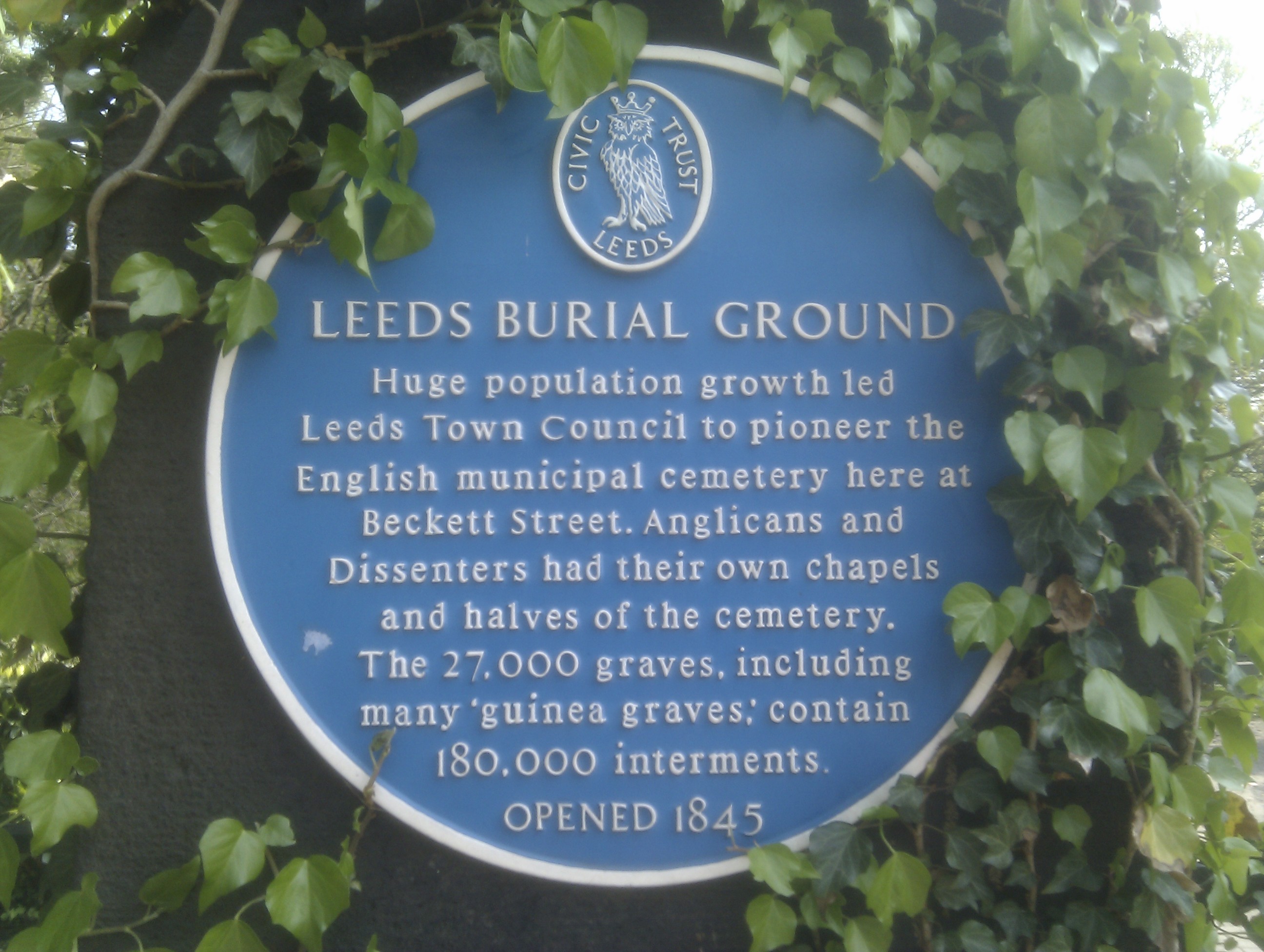
LEEDS BURIAL GROUND Huge population growth led Leeds Town Council to pioneer the English municipal cemetery here at Beckett Street. Anglicans and Dissenters had their own chapels and halves of the cemetery. The 27,000 graves, including many 'guinea graves,' contain 180,000 interments. OPENED 1845 <a href="https://creativecommons.org/publicdomain/zero/1.0/" rel="noreferrer nofollow">CC0</a> To the extent possible under law, <a href="http://bendalton.noii.net/" rel="noreferrer nofollow">Ben Dalton</a> has waived all copyright and related or neighbouring rights to this photo. You can link back to this page if you would like to credit Ben for taking the photo, but you don't have to. However, if you would like to embed the copy of this photo that is hosted on Flickr in outside web sites, you must follow <a href="https://www.flickr.com/guidelines.gne">Flickr's hosting guidelines</a>. |
| Date | |
| Source | 10pts |
| Author | ben dalton from leeds, uk |
| Camera location | | View this and other nearby images on: OpenStreetMap |
|---|
.jpg¶ms=053.807377_N_-001.518023_E_globe:Earth_type:camera_source:Flickr_&language=en)
Licensing[edit]
.jpg&action=edit§ion=2)
- You are free:
- to share – to copy, distribute and transmit the work
- to remix – to adapt the work
- Under the following conditions:
- attribution – You must give appropriate credit, provide a link to the license, and indicate if changes were made. You may do so in any reasonable manner, but not in any way that suggests the licensor endorses you or your use.
| This image was originally posted to Flickr by noii's at https://flickr.com/photos/17306001@N00/5642686383 (archive). It was reviewed on 24 April 2019 by FlickreviewR 2 and was confirmed to be licensed under the terms of the cc-by-2.0. |
File history
Click on a date/time to view the file as it appeared at that time.
| Date/Time | Thumbnail | Dimensions | User | Comment | |
|---|---|---|---|---|---|
| current | 18:57, 24 April 2019 | | 2,592 × 1,952 (801 KB) | Sic19 (talk | contribs) | Transferred from Flickr via #flickr2commons |
You cannot overwrite this file.
File usage on Commons
The following page uses this file:
File usage on other wikis
The following other wikis use this file:
- Usage on en.wikipedia.org
- Usage on www.wikidata.org
.jpg&oldid=740796018)