File:13 BOUCHES-DU-RHONE carte grille communale densite INSEE.png
Jump to navigation
Jump to search

Size of this preview: 800 × 566 pixels. Other resolutions: 320 × 226 pixels | 640 × 453 pixels | 1,024 × 724 pixels | 1,280 × 905 pixels | 2,560 × 1,810 pixels | 3,507 × 2,480 pixels.
Original file (3,507 × 2,480 pixels, file size: 1.91 MB, MIME type: image/png)
Captions
Captions
Add a one-line explanation of what this file represents
Summary
[edit]
| Description |
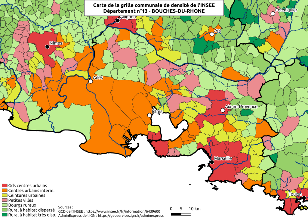
Français : Carte de la grille communale de densité de l'INSEE
source : https://www.insee.fr/fr/information/6439600 Communes, chefs-lieux et départements d'après : AdminExpress de l'IGN : https://geoservices.ign.fr/adminexpress Cours d'eau : SANDRE Français : Carte de la grille communale de densité de l'INSEE
Grands centres urbains
Centres urbains intermédiaires
Ceintures urbaines
Petites villes
Bourgs ruraux
Rural à habitat dispersé
Rural à habitat très dispersé |
| Date | |
| Source | Own work |
| Author | BotaFlo |
Licensing
[edit]
I, the copyright holder of this work, hereby publish it under the following license:
| This file is made available under the Creative Commons CC0 1.0 Universal Public Domain Dedication. | |
| The person who associated a work with this deed has dedicated the work to the public domain by waiving all of their rights to the work worldwide under copyright law, including all related and neighboring rights, to the extent allowed by law. You can copy, modify, distribute and perform the work, even for commercial purposes, all without asking permission.
|
File history
Click on a date/time to view the file as it appeared at that time.
| Date/Time | Thumbnail | Dimensions | User | Comment | |
|---|---|---|---|---|---|
| current | 20:45, 27 November 2022 | | 3,507 × 2,480 (1.91 MB) | BotaFlo (talk | contribs) | Uploaded own work with UploadWizard |
You cannot overwrite this file.
File usage on Commons
The following page uses this file:
Metadata
Categories:
- Cartes de la grille communale de densité de l'INSEE (2022)
- Demographic maps of Bouches-du-Rhône
- Maps of communes in Bouches-du-Rhône
- Maps of urbanisation in Bouches-du-Rhône
- Maps of Marseille
- Maps of Arles
- Maps of Aix-en-Provence
- Maps of Istres
- Urbanisation in Bouches-du-Rhône
- Maps of land use in Bouches-du-Rhône