File:15, Via Mazzanti, Verona.jpg
Jump to navigation
Jump to search

Size of this preview: 516 × 600 pixels. Other resolutions: 206 × 240 pixels | 413 × 480 pixels | 661 × 768 pixels | 881 × 1,024 pixels | 1,762 × 2,048 pixels | 6,655 × 7,735 pixels.
Original file (6,655 × 7,735 pixels, file size: 33.02 MB, MIME type: image/jpeg)
Captions
Captions
Add a one-line explanation of what this file represents
Summary
[edit]|
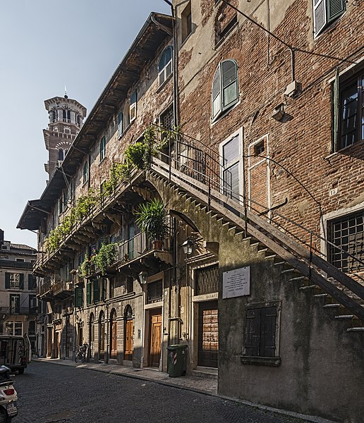
15, Via Mazzanti, Verona. Place where began the Veronese Easters | ||||||||||||||||||||
|
| ||||||||||||||||||||


File history
Click on a date/time to view the file as it appeared at that time.
| Date/Time | Thumbnail | Dimensions | User | Comment | |
|---|---|---|---|---|---|
| current | 15:41, 27 February 2016 | | 6,655 × 7,735 (33.02 MB) | Archaeodontosaurus (talk | contribs) | {{Information |Description ={{en|1=c}} |Source ={{own}} |Author =Archaeodontosaurus |Date = |Permission = |other_versions = }} |
You cannot overwrite this file.
File usage on Commons
The following 7 pages use this file:
File usage on other wikis
The following other wikis use this file:
- Usage on ar.wikipedia.org
- Usage on de.wikipedia.org
- Usage on en.wikipedia.org
- Usage on fr.wikipedia.org
- Usage on it.wikipedia.org
- Usage on vec.wikipedia.org
- Usage on www.wikidata.org