File:1705 map - Carte des Indes et de la Chine.jpg
Jump to navigation
Jump to search

Size of this preview: 629 × 600 pixels. Other resolutions: 252 × 240 pixels | 503 × 480 pixels | 806 × 768 pixels | 1,074 × 1,024 pixels | 2,148 × 2,048 pixels | 16,281 × 15,523 pixels.
Original file (16,281 × 15,523 pixels, file size: 49.69 MB, MIME type: image/jpeg)
Captions
Captions
Add a one-line explanation of what this file represents
Summary[edit]
| Warning | The original file is very high-resolution. It might not load properly or could cause your browser to freeze when opened at full size. |
|---|
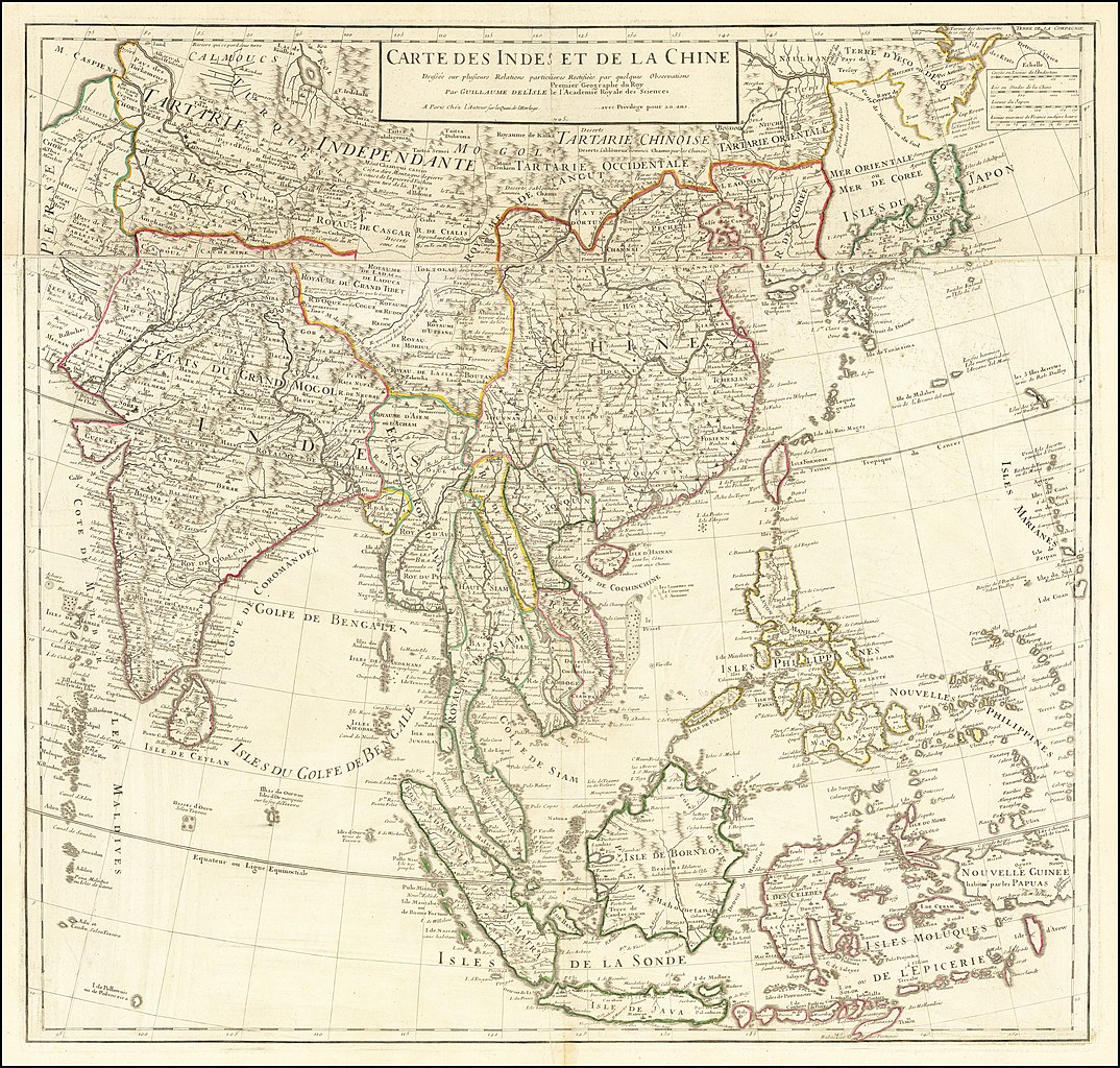
| Description |
Français : Carte Des Indes et de la Chine Dressee sur plusieurs Relations particulieres Rectifees par quelques Observations Par Guillaume De L'Isle de l'Academie Royale des Science. Other prominent features on the map: Company Land; Wall of China; Qing China |
|||||||||||||||||||||||
| Date | ||||||||||||||||||||||||
| Source | https://www.raremaps.com/gallery/detail/64312op/carte-des-indes-et-de-la-chine-dressee-sur-plusieurs-relati-de-lisle | |||||||||||||||||||||||
| Author |
|
|||||||||||||||||||||||
| Other versions |
|
|||||||||||||||||||||||


Licensing[edit]
|
This work is in the public domain in its country of origin and other countries and areas where the copyright term is the author's life plus 70 years or fewer. This work is in the public domain in the United States because it was published (or registered with the U.S. Copyright Office) before January 1, 1929. | |
| This file has been identified as being free of known restrictions under copyright law, including all related and neighboring rights. | |
File history
Click on a date/time to view the file as it appeared at that time.
| Date/Time | Thumbnail | Dimensions | User | Comment | |
|---|---|---|---|---|---|
| current | 18:58, 21 February 2020 | | 16,281 × 15,523 (49.69 MB) | Balkanique (talk | contribs) | User created page with UploadWizard |
You cannot overwrite this file.
File usage on Commons
The following 3 pages use this file: