File:1716 Homann Map of Burgundy, France - Geographicus - Burgundiae-homan-1716.jpg
Zur Navigation springen
Zur Suche springen

Größe dieser Vorschau: 504 × 600 Pixel. Weitere Auflösungen: 202 × 240 Pixel | 403 × 480 Pixel | 645 × 768 Pixel | 861 × 1.024 Pixel | 1.721 × 2.048 Pixel | 4.000 × 4.759 Pixel.
Originaldatei (4.000 × 4.759 Pixel, Dateigröße: 4,58 MB, MIME-Typ: image/jpeg)
Bildtexte
Kurzbeschreibungen
Ergänze eine einzeilige Erklärung, was diese Datei darstellt.
| Künstler |
|
|||||||||||||||||||||||
| Titel |
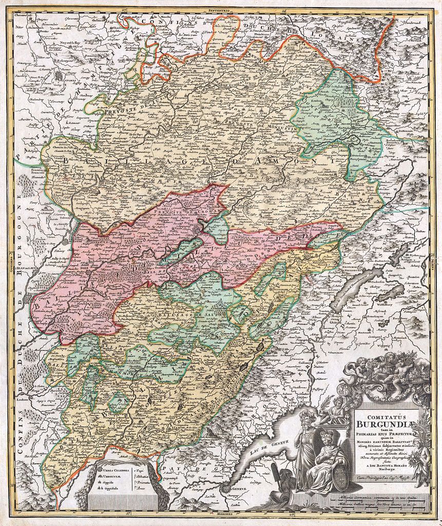
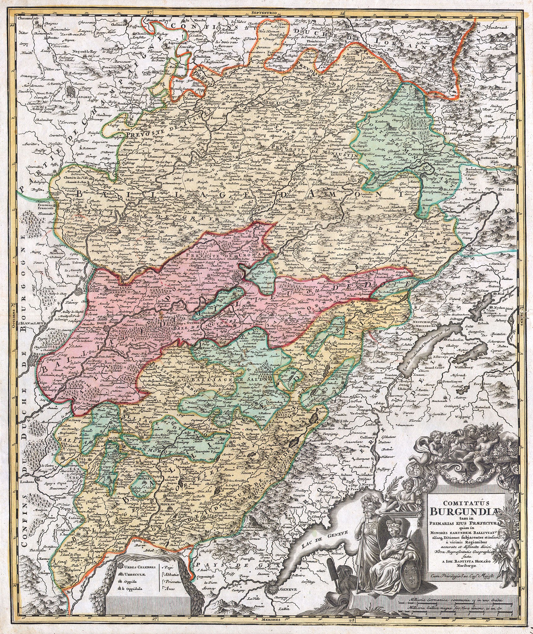
Comitatus Burgundiae tam in Primarias Ejus Praefecturas quam in Minores Earundem Balliviat aliasq, Ditiones Gubjacentes Eninfert a vicinis Regionibus accurate et diftinete divisi Nova Representation Geographic facta A Joh. Baptista Homano Noribergae.. |
|||||||||||||||||||||||
| Beschreibung |
English: A fine example of Homann’s 1716 map of Burgundy, one of France’s most important wine regions. Extends to include Lake Geneva in the southwest, Lorraine in the north, Champaigne (Champagne) and Angers to the northwest and Bourgogne to the west. Depicts mountains, forests, castles, and fortifications and features an elaborate title cartouche decorated with cherub winemakers in the bottom right. A fine example of this rare map. Produced by J. H. Homann for inclusion in the Grosser Atlas published in Nuremberg, 1716. |
|||||||||||||||||||||||
| Datum | 1716 | |||||||||||||||||||||||
| Maße | Höhe: 20 in (50,8 cm); Breite: 23 in (58,4 cm) | |||||||||||||||||||||||
| Inventarnummer |
Geographicus link: Burgundiae-homan-1716 |
|||||||||||||||||||||||
| Herkunft/Fotograf |
|
|||||||||||||||||||||||
| Genehmigung (Weiternutzung dieser Datei) |
|
|||||||||||||||||||||||
.jpg)
Dateiversionen
Klicke auf einen Zeitpunkt, um diese Version zu laden.
| Version vom | Vorschaubild | Maße | Benutzer | Kommentar | |
|---|---|---|---|---|---|
| aktuell | 14:57, 24. Mär. 2011 | | 4.000 × 4.759 (4,58 MB) | BotMultichillT (Diskussion | Beiträge) | {{subst:User:Multichill/Geographicus |link=http://www.geographicus.com/P/AntiqueMap/Burgundiae-homan-1716 |product_name=1716 Homann Map of Burgundy, France |map_title=Comitatus Burgundiae tam in Primarias Ejus Praefecturas quam in Minores Earundem Ballivi |
Du kannst diese Datei nicht überschreiben.
Dateiverwendung
Die folgende Seite verwendet diese Datei:
Globale Dateiverwendung
Die nachfolgenden anderen Wikis verwenden diese Datei:
- Verwendung auf de.wikipedia.org
- Verwendung auf en.wikipedia.org
- Verwendung auf eo.wikipedia.org
- Verwendung auf fr.wikipedia.org