File:1808 Mourzouk map Africa by Robert Wilkinson BPL 14643 detail.png
Original file (1,069 × 737 pixels, file size: 1.77 MB, MIME type: image/png)
Captions
Captions
| Description |
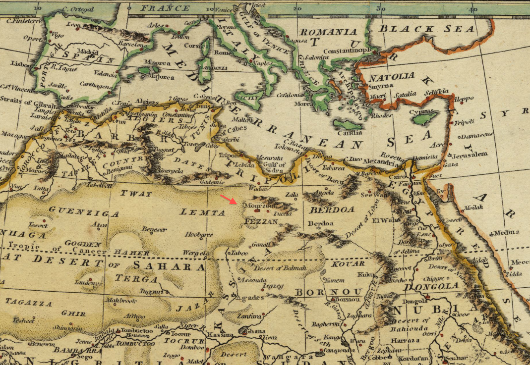
Detail of map: Africa, including the Mediterranean Author: Wilkinson, Robert Publisher: Wilkinson, Robert Date: 1808-1822 |
|||||||||||||||||||
| Date | between 1808 and 1822 | |||||||||||||||||||
| Source | Boston Public Library, Map Center (Boston, Massachusetts, USA) / http://maps.bpl.org/id/14643 | |||||||||||||||||||
| Author |
|
|||||||||||||||||||
|
This work is in the public domain in its country of origin and other countries and areas where the copyright term is the author's life plus 70 years or fewer.
| |
| This file has been identified as being free of known restrictions under copyright law, including all related and neighboring rights. | |
File history
Click on a date/time to view the file as it appeared at that time.
| Date/Time | Thumbnail | Dimensions | User | Comment | |
|---|---|---|---|---|---|
| current | 14:07, 19 January 2013 | | 1,069 × 737 (1.77 MB) | M2545 (talk | contribs) | {{Information |Description=Detail of map: Africa, including the Mediterranean Author: Wilkinson, Robert Publisher: Wilkinson, Robert Date: 1808-1822 |Source=Boston Public Library, Map Center (Boston, Massachusetts, USA) / http://maps.bpl.org/id/146... |
You cannot overwrite this file.
File usage on Commons
There are no pages that use this file.