File:1882 Agricultural Map of Alabama.jpeg
Jump to navigation
Jump to search
Size of this preview: 465 × 599 pixels. Other resolutions: 186 × 240 pixels | 373 × 480 pixels | 596 × 768 pixels | 795 × 1,024 pixels | 1,590 × 2,048 pixels | 3,087 × 3,976 pixels.
Original file (3,087 × 3,976 pixels, file size: 1.1 MB, MIME type: image/jpeg)
Captions
Captions
Add a one-line explanation of what this file represents
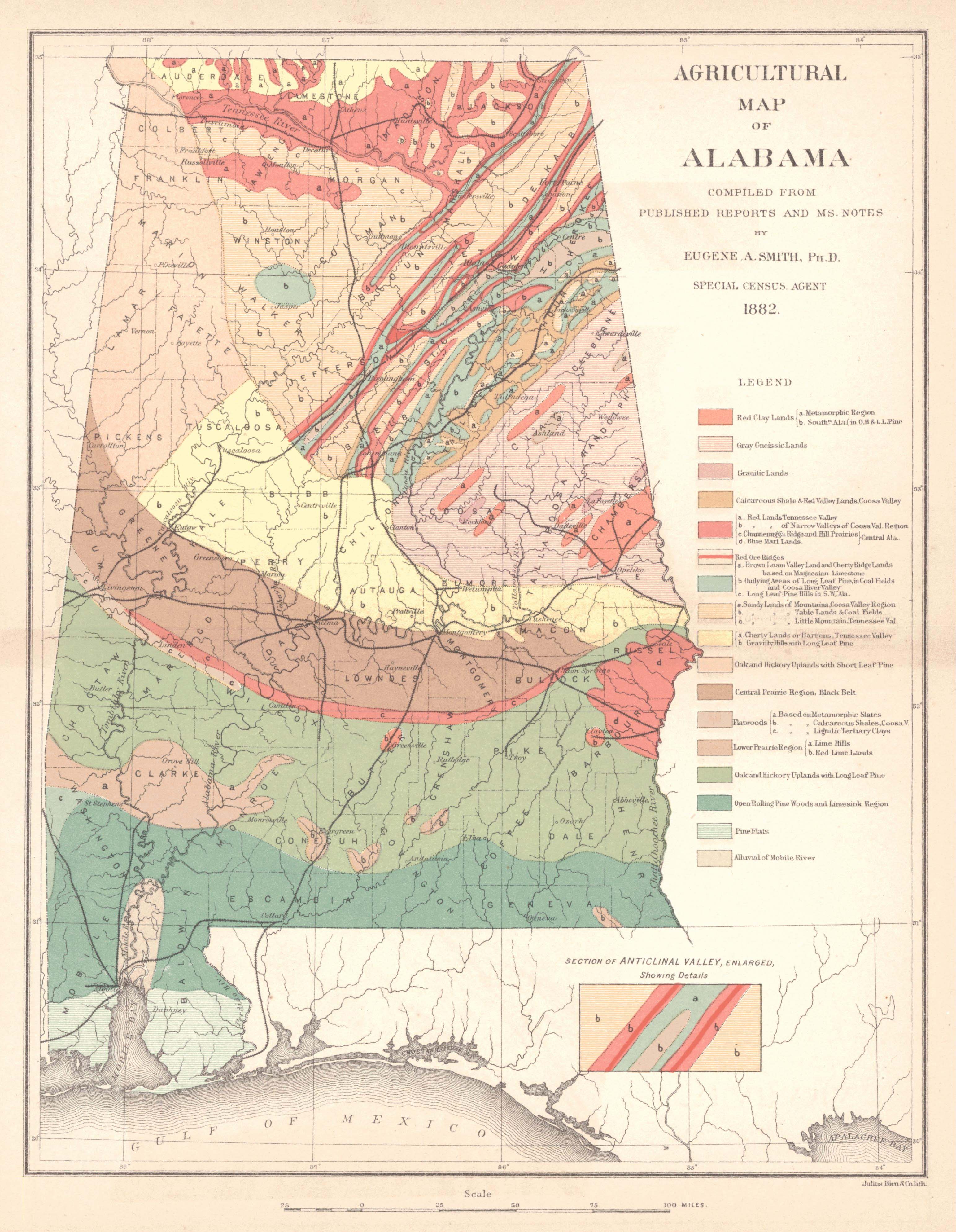
| Description | "Agricultural Map of Alabama" | ||||
| Date | |||||
| Source | Historical Maps of Alabama collection, University of Alabama Department of Geography | ||||
| Author | Eugene A. Smith; Publisher: Geological Survey of Alabama, Tuscaloosa | ||||
| Permission (Reusing this file) |
|
||||
File history
Click on a date/time to view the file as it appeared at that time.
| Date/Time | Thumbnail | Dimensions | User | Comment | |
|---|---|---|---|---|---|
| current | 22:06, 29 June 2009 | | 3,087 × 3,976 (1.1 MB) | Spyder Monkey (talk | contribs) | {{Information |Description="Agricultural Map of Alabama" |Source=[http://alabamamaps.ua.edu/historicalmaps/alabama/1876-1885.html Historical Maps of Alabama collection], University of Alabama Department of Geography |Date=1882 |Author=Eugene A. Smith; Pub |
You cannot overwrite this file.
File usage on Commons
There are no pages that use this file.