File:1910-1923 Map of parts of Venezuela and Colombia, by Richard Mayer, from the Digital Commonwealth - commonwealth 4m90fm17f.jpg
Jump to navigation
Jump to search

Size of this preview: 800 × 599 pixels. Other resolutions: 320 × 240 pixels | 640 × 479 pixels | 1,024 × 767 pixels | 1,280 × 959 pixels | 2,560 × 1,918 pixels | 12,839 × 9,618 pixels.
Original file (12,839 × 9,618 pixels, file size: 161.93 MB, MIME type: image/jpeg)
Captions
Captions
Add a one-line explanation of what this file represents
Summary
[edit]
| Warning | The original file is very high-resolution. It might not load properly or could cause your browser to freeze when opened at full size. |
|---|
| Description |
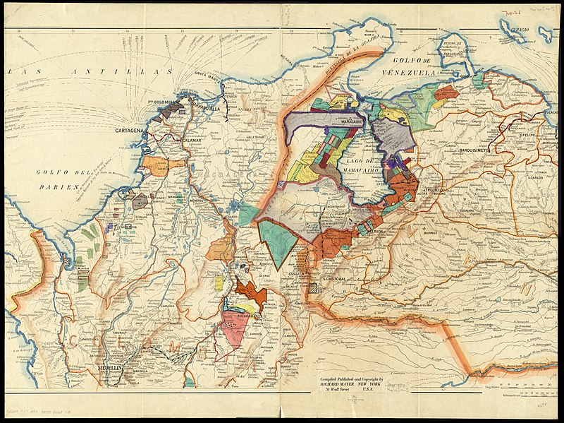
English: 1910-1923 Map of parts of Venezuela and Colombia, by Richard Mayer, from the Digital Commonwealth - commonwealth 4m90fm17f. (https://www.digitalcommonwealth.org/search/commonwealth:4m90fm17f) |
| Date | between 1910 and 1923 |
| Source | Digital Commonwealth |
| Author | Richard Mayer |
Licensing
[edit]
This work is in the public domain in the United States because it was published (or registered with the U.S. Copyright Office) before January 1, 1929.
Public domain works must be out of copyright in both the United States and in the source country of the work in order to be hosted on the Commons. If the work is not a U.S. work, the file must have an additional copyright tag indicating the copyright status in the source country.
Note: This tag should not be used for sound recordings. |
File history
Click on a date/time to view the file as it appeared at that time.
| Date/Time | Thumbnail | Dimensions | User | Comment | |
|---|---|---|---|---|---|
| current | 00:00, 29 November 2021 | | 12,839 × 9,618 (161.93 MB) | Daderot (talk | contribs) | Uploaded a work by Richard Mayer from Digital Commonwealth with UploadWizard |
You cannot overwrite this file.
File usage on Commons
There are no pages that use this file.