File:1911 Britannica - South Staffordshire.png
Jump to navigation
Jump to search
Size of this preview: 597 × 599 pixels. Other resolutions: 239 × 240 pixels | 478 × 480 pixels | 765 × 768 pixels | 1,020 × 1,024 pixels | 1,344 × 1,349 pixels.
Original file (1,344 × 1,349 pixels, file size: 2.15 MB, MIME type: image/png)
Captions
Captions
Add a one-line explanation of what this file represents
| Description |
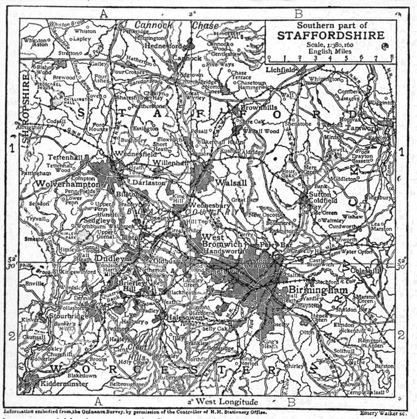
English: Map of the southern part of Staffordshire approx. 1911. Illustration from 1911 Encyclopædia Britannica, article Staffordshire. |
|||
| Date | ||||
| Source |
Encyclopædia Britannica Eleventh Edition, Vol. 25, Page 758  |
|||
| Author | Encyclopædia Britannica, 1911 | |||
| Permission (Reusing this file) |
|

File history
Click on a date/time to view the file as it appeared at that time.
| Date/Time | Thumbnail | Dimensions | User | Comment | |
|---|---|---|---|---|---|
| current | 20:48, 27 August 2017 | | 1,344 × 1,349 (2.15 MB) | Inops (talk | contribs) | something went wrong there. Image is thumbnailing in a different shade than the original |
| 20:45, 27 August 2017 |  | 1,344 × 1,349 (1.15 MB) | Inops (talk | contribs) | desaturate and shrink file size | |
| 17:02, 28 December 2016 |  | 1,344 × 1,349 (3.37 MB) | Inops (talk | contribs) | remove clipped text at text incorrectly cropped into image | |
| 16:34, 28 December 2016 |  | 1,344 × 1,349 (3.37 MB) | Inops (talk | contribs) | {{Information |description={{en|1=''Map of the southern part of Staffordshire approx. 1911''.<br /><small>Illustration from 1911 Encyclopædia Britannica, article Staffordshire.}}... |
You cannot overwrite this file.
File usage on Commons
There are no pages that use this file.
File usage on other wikis
The following other wikis use this file:
- Usage on en.wikipedia.org
- Usage on en.wikisource.org