File:1918-1939 circa Open GeoData Plan der Hauptstadt Hannover 1 zu 1000 (Historisch) Kachel No 506b.jpg
Jump to navigation
Jump to search

Size of this preview: 486 × 599 pixels. Other resolutions: 195 × 240 pixels | 389 × 480 pixels | 623 × 768 pixels | 831 × 1,024 pixels | 1,662 × 2,048 pixels | 5,627 × 6,934 pixels.
Original file (5,627 × 6,934 pixels, file size: 3.54 MB, MIME type: image/jpeg)
Captions
Captions
Add a one-line explanation of what this file represents
Summary
[edit]_Kachel_No_506b.jpg&action=edit§ion=1)
| Description |
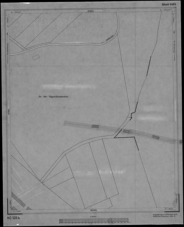
Deutsch: Eine von insgesamt 427 zwischen 1918 bis 1939 im Format 50 x 60 cm² erstellten Arbeitskopien des "mit außerordentlicher Sorgfalt und Genauigkeit" erstellten
im Maßstab 1:1000, hier die Kachel ... |
| Date | circa 1918 |
| Source |
Herausgeber: Landeshauptstadt Hannover, FB Planen und Stadtentwicklung, Bereich Geoinformation; Open GeoData; Plan der Hauptstadt Hannover 1:1000 (Historisch): https://www.hannover.de/Leben-in-der-Region-Hannover/Verwaltungen-Kommunen/Die-Verwaltung-der-Landeshauptstadt-Hannover/Dezernate-und-Fachbereiche-der-LHH/Stadtentwicklung-und-Bauen/Fachbereich-Planen-und-Stadtentwicklung/Geoinformation/Open-GeoData/Digitale-Stadtkarten/Plan-der-Hauptstadt-Hannover-1-1000-Historisch |
| Author | Stadtbauamt Hannover, Abteilung II |
Licensing
[edit]_Kachel_No_506b.jpg&action=edit§ion=2)
This file is licensed under the Creative Commons Attribution 4.0 International license.
- You are free:
- to share – to copy, distribute and transmit the work
- to remix – to adapt the work
- Under the following conditions:
- attribution – You must give appropriate credit, provide a link to the license, and indicate if changes were made. You may do so in any reasonable manner, but not in any way that suggests the licensor endorses you or your use.
File history
Click on a date/time to view the file as it appeared at that time.
| Date/Time | Thumbnail | Dimensions | User | Comment | |
|---|---|---|---|---|---|
| current | 06:01, 31 January 2024 | | 5,627 × 6,934 (3.54 MB) | Bernd Schwabe in Hannover (talk | contribs) | Uploaded a work by Stadtbauamt Hannover, Abteilung II from Herausgeber: Landeshauptstadt Hannover, FB Planen und Stadtentwicklung, Bereich Geoinformation; Open GeoData; Plan der Hauptstadt Hannover 1:1000 (Historisch): https://www.hannover.de/Leben-in-der-Region-Hannover/Verwaltungen-Kommunen/Die-Verwaltung-der-Landeshauptstadt-Hannover/Dezernate-und-Fachbereiche-der-LHH/Stadtentwicklung-und-Bauen/Fachbereich-Planen-und-Stadtentwicklung/Geoinformation/Open-GeoDat... |
You cannot overwrite this file.
File usage on Commons
There are no pages that use this file.
File usage on other wikis
The following other wikis use this file:
- Usage on de.wikipedia.org
_Kachel_No_506b.jpg&oldid=877698726)