File:1918-1939 circa Open GeoData Plan der Hauptstadt Hannover 1 zu 1000 (Historisch) Kachel Nw 808b.jpg
Jump to navigation
Jump to search

Size of this preview: 477 × 599 pixels. Other resolutions: 191 × 240 pixels | 382 × 480 pixels | 611 × 768 pixels | 815 × 1,024 pixels | 1,630 × 2,048 pixels | 5,858 × 7,360 pixels.
Original file (5,858 × 7,360 pixels, file size: 3.15 MB, MIME type: image/jpeg)
Captions
Captions
Add a one-line explanation of what this file represents
Summary
[edit]| Title |
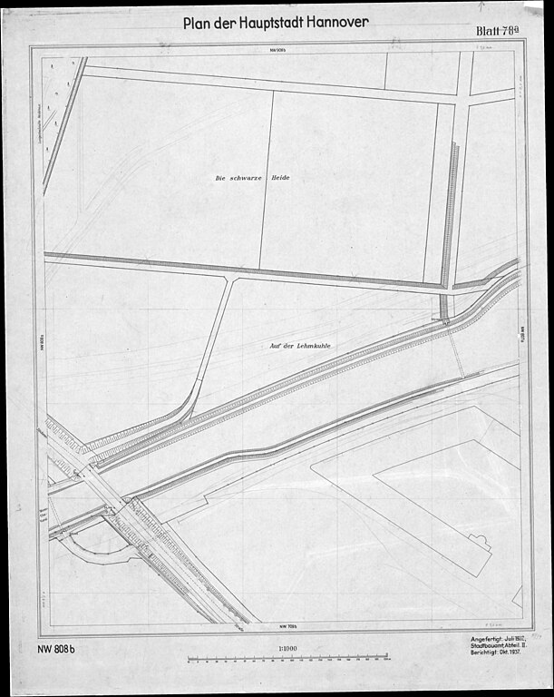
Plan der Hauptstadt Hannover |
||||||||||||||
| Description |
Auszug dem Plan der Stadt Hannover |
||||||||||||||
| Source | Open GeoData Hannover: https://www.hannover.de/Leben-in-der-Region-Hannover/Verwaltungen-Kommunen/Die-Verwaltung-der-Landeshauptstadt-Hannover/Dezernate-und-Fachbereiche-der-LHH/Stadtentwicklung-und-Bauen/Fachbereich-Planen-und-Stadtentwicklung/Geoinformation/Open-GeoData/Digitale-Stadtkarten/Plan-der-Hauptstadt-Hannover-1-1000-Historisch | ||||||||||||||
| Creator |
Landeshauptstadt Hannover, FB Planen und Stadtentwicklung, Bereich Geoinformation |
||||||||||||||
| Permission (Reusing this file) |
Die Lizenz bleibt dieselbe wie für das Original This file is licensed under the Creative Commons Attribution 4.0 International license.
|
||||||||||||||
| Geotemporal data | |||||||||||||||
| Date depicted | |||||||||||||||
| Map location | Hanover, Germany | ||||||||||||||
| Map type | Stadtplan | ||||||||||||||
| Spatial reference system | Mercator | ||||||||||||||
| Scale | 1:1,000 | ||||||||||||||
| Heading |
 |
||||||||||||||
| Georeferencing | If inappropriate please set warp_status = skip to hide. | ||||||||||||||
| Bibliographic data | |||||||||||||||
| Map sheet | Einzelblattkarte | ||||||||||||||
| Language | Deutsch | ||||||||||||||
| Place of publication | Hanover | ||||||||||||||
| Archival data | |||||||||||||||
| Collection |
|
||||||||||||||
| Accession number |
Nw 808b |
||||||||||||||
| Dimensions | height: 60 cm (23.6 in); width: 50 cm (19.6 in) | ||||||||||||||
| Medium | oil on paper | ||||||||||||||
| artwork-references | Ausführliche Produktbeschreibung zum Plan der Hauptstadt Hannover 1:1000 (historisch) (PDF). Landeshauptstadt Hannover, FB Planen und Stadtentwicklung, Bereich Geoinformation (2017-12-15). Retrieved on 2024-01-30. | ||||||||||||||
| Scan resolution | 200 dpi | ||||||||||||||

_Kachel_Nw_808b.jpg&action=edit§ion=1)
Licensing
[edit]_Kachel_Nw_808b.jpg&action=edit§ion=2)
This file is licensed under the Creative Commons Attribution 4.0 International license.
- You are free:
- to share – to copy, distribute and transmit the work
- to remix – to adapt the work
- Under the following conditions:
- attribution – You must give appropriate credit, provide a link to the license, and indicate if changes were made. You may do so in any reasonable manner, but not in any way that suggests the licensor endorses you or your use.
File history
Click on a date/time to view the file as it appeared at that time.
| Date/Time | Thumbnail | Dimensions | User | Comment | |
|---|---|---|---|---|---|
| current | 06:57, 31 January 2024 | | 5,858 × 7,360 (3.15 MB) | Bernd Schwabe in Hannover (talk | contribs) | Uploaded a work by Stadtbauamt Hannover, Abteilung II from Herausgeber: Landeshauptstadt Hannover, FB Planen und Stadtentwicklung, Bereich Geoinformation; Open GeoData; Plan der Hauptstadt Hannover 1:1000 (Historisch): https://www.hannover.de/Leben-in-der-Region-Hannover/Verwaltungen-Kommunen/Die-Verwaltung-der-Landeshauptstadt-Hannover/Dezernate-und-Fachbereiche-der-LHH/Stadtentwicklung-und-Bauen/Fachbereich-Planen-und-Stadtentwicklung/Geoinformation/Open-GeoDat... |
You cannot overwrite this file.
File usage on Commons
The following page uses this file:
_Kachel_Nw_808b.jpg)
File usage on other wikis
The following other wikis use this file:
- Usage on de.wikipedia.org
_Kachel_Nw_808b.jpg&oldid=877699147)