File:1926-1938士姑来地图.png
Jump to navigation
Jump to search

Size of this preview: 800 × 509 pixels. Other resolutions: 320 × 204 pixels | 640 × 407 pixels | 1,024 × 652 pixels | 1,570 × 999 pixels.
Original file (1,570 × 999 pixels, file size: 3.73 MB, MIME type: image/png)
Captions
Captions
Add a one-line explanation of what this file represents
Summary
[edit]
| Description |
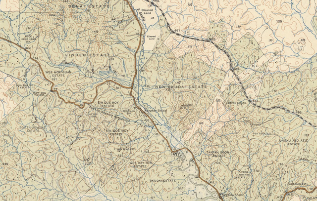
中文:1926-1938士姑来地图 |
| Date | |
| Source |
原始出版物:[Kuala Lumpur]: F.M.S. Survey, 1925-1938 |
| Author |
Federated Malay States. Survey Department |
| Permission (Reusing this file) |
Created/Published Date is Before 1955(澳洲版权法规) |
授权协议
[edit]
This image is protected by Crown Copyright because it is owned by the Australian Government or that of the states or territories, and is in the public domain because it was created or published prior to 1974 and the copyright has therefore expired. The government of Australia has declared that the expiration of Crown Copyrights applies worldwide. This has been confirmed by correspondence received by the Volunteer Response Team (Ticket:2017062010010417).
|
 |
File history
Click on a date/time to view the file as it appeared at that time.
| Date/Time | Thumbnail | Dimensions | User | Comment | |
|---|---|---|---|---|---|
| current | 04:54, 18 August 2019 | | 1,570 × 999 (3.73 MB) | Dotalim0204 (talk | contribs) | 使用文件上传向导上传以前的公有领域作品 |
You cannot overwrite this file.
File usage on Commons
There are no pages that use this file.
File usage on other wikis
The following other wikis use this file:
- Usage on zh.wikipedia.org