File:1994 United States Senate election in Maryland results map by county.svg
Jump to navigation
Jump to search

Size of this PNG preview of this SVG file: 800 × 428 pixels. Other resolutions: 320 × 171 pixels | 640 × 342 pixels | 1,024 × 547 pixels | 1,280 × 684 pixels | 2,560 × 1,368 pixels | 810 × 433 pixels.
Original file (SVG file, nominally 810 × 433 pixels, file size: 41 KB)
Captions
Captions
Add a one-line explanation of what this file represents
Summary[edit]
| Description |
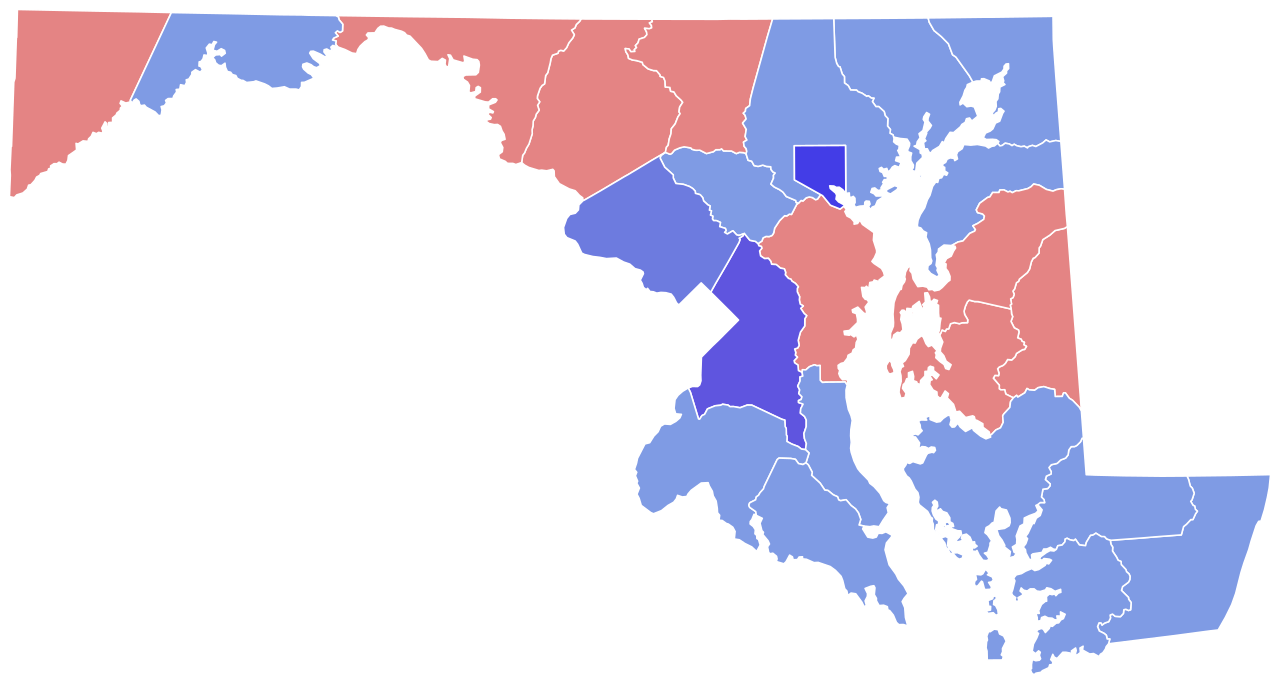
English: Map of County Results in U.S. Senate Election in Maryland, 1994. |
| Date | |
| Source | Own work |
| Author | SpeedMcCool |
Licensing[edit]
I, the copyright holder of this work, hereby publish it under the following license:
This file is licensed under the Creative Commons Attribution-Share Alike 4.0 International license.
- You are free:
- to share – to copy, distribute and transmit the work
- to remix – to adapt the work
- Under the following conditions:
- attribution – You must give appropriate credit, provide a link to the license, and indicate if changes were made. You may do so in any reasonable manner, but not in any way that suggests the licensor endorses you or your use.
- share alike – If you remix, transform, or build upon the material, you must distribute your contributions under the same or compatible license as the original.
File history
Click on a date/time to view the file as it appeared at that time.
| Date/Time | Thumbnail | Dimensions | User | Comment | |
|---|---|---|---|---|---|
| current | 17:43, 20 February 2024 | | 810 × 433 (41 KB) | Putitonamap98 (talk | contribs) | shapes |
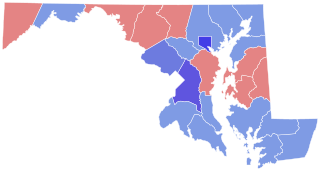
| 19:05, 21 November 2022 |  | 744 × 405 (222 KB) | Putitonamap98 (talk | contribs) | shapes | |
| 03:53, 29 December 2020 |  | 224 × 119 (10 KB) | Svgguy5 (talk | contribs) | shapes that are consistent with other senate maps | |
| 05:24, 13 December 2018 |  | 224 × 119 (19 KB) | SpeedMcCool (talk | contribs) | User created page with UploadWizard |
You cannot overwrite this file.
File usage on Commons
The following 5 pages use this file:
File usage on other wikis
The following other wikis use this file:
- Usage on en.wikipedia.org