File:1 Chome Ebira, Nagasaki-shi, Nagasaki-ken 852-8101, Japan - panoramio (6).jpg
Jump to navigation
Jump to search
Size of this preview: 800 × 176 pixels. Other resolutions: 320 × 70 pixels | 640 × 141 pixels | 1,024 × 225 pixels | 1,280 × 281 pixels | 4,912 × 1,080 pixels.
Original file (4,912 × 1,080 pixels, file size: 552 KB, MIME type: image/jpeg)
Captions
Captions
Add a one-line explanation of what this file represents
Summary
[edit].jpg&action=edit§ion=1)
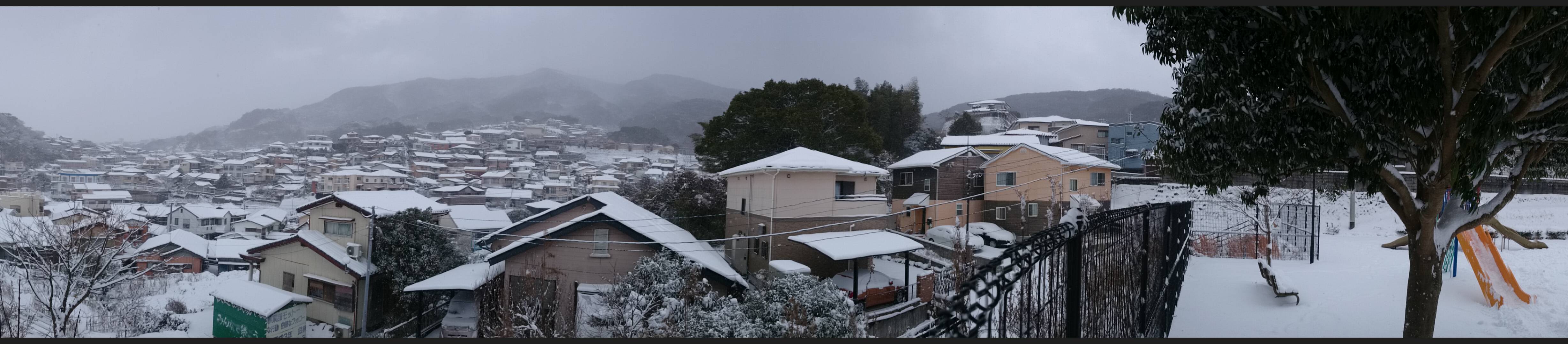
| Description | 1 Chome Ebira, Nagasaki-shi, Nagasaki-ken 852-8101, Japan | ||
| Date | Taken on 24 January 2016 | ||
| Source | https://web.archive.org/web/20161101044703/http://www.panoramio.com/photo/127500267 | ||
| Author | Masoud Akbari | ||
| Permission (Reusing this file) |
This file is licensed under the Creative Commons Attribution-Share Alike 3.0 Unported license. Attribution: Masoud Akbari
|
||
| Panoramio Tags | Nagasaki-shi |
| Camera location | | View this and other nearby images on: OpenStreetMap |
|---|
.jpg¶ms=032.772391_N_0129.871864_E_globe:Earth_type:camera_source:Panoramio_&language=en)
File history
Click on a date/time to view the file as it appeared at that time.
| Date/Time | Thumbnail | Dimensions | User | Comment | |
|---|---|---|---|---|---|
| current | 06:45, 23 June 2017 | 4,912 × 1,080 (552 KB) | Panoramio upload bot (talk | contribs) | == {{int:filedesc}} == {{Information |description=1 Chome Ebira, Nagasaki-shi, Nagasaki-ken 852-8101, Japan |date={{Taken on|2016-01-24}} |source=http://www.panoramio.com/photo/127500267 |author=[http://www.panoramio.com/user/1504891?with_photo_id=1275... |
You cannot overwrite this file.
File usage on Commons
There are no pages that use this file.
.jpg&oldid=803325461)