File:2016-02-01 Surface Weather Map NOAA.png
Jump to navigation
Jump to search

Size of this preview: 800 × 576 pixels. Other resolutions: 320 × 230 pixels | 640 × 461 pixels | 1,024 × 737 pixels | 1,088 × 783 pixels.
Original file (1,088 × 783 pixels, file size: 184 KB, MIME type: image/png)
Captions
Captions
Add a one-line explanation of what this file represents
Summary
[edit]
| Description |
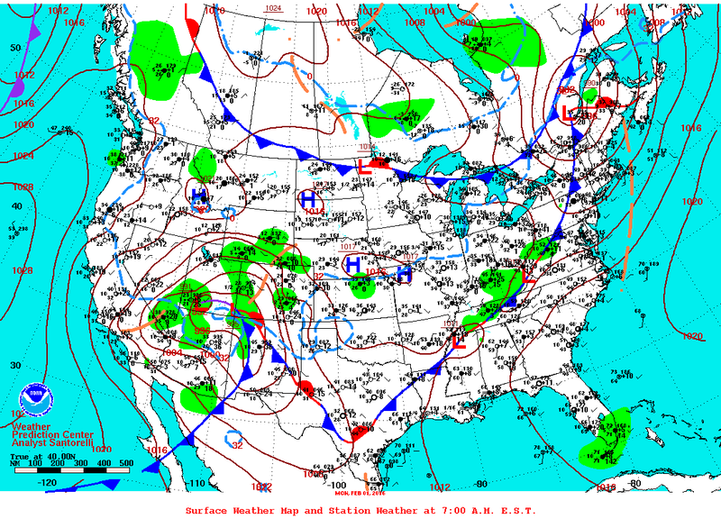
English: A surface weather map for 1 February 2016. |
| Date | 1 February 2016 |
| Source | National Centers for Environmental Prediction |
| Author | National Centers for Environmental Prediction |
Licensing
[edit]
This image is in the public domain because it contains materials that originally came from the U.S. National Oceanic and Atmospheric Administration, taken or made as part of an employee's official duties.
|
File history
Click on a date/time to view the file as it appeared at that time.
| Date/Time | Thumbnail | Dimensions | User | Comment | |
|---|---|---|---|---|---|
| current | 22:52, 6 February 2016 | | 1,088 × 783 (184 KB) | Noaabot (talk | contribs) | == {{int:filedesc}} == {{NOAA-dailywxmap|type=stnplot|date=2016-02-01}} == {{int:license}} == {{PD-USGov-NOAA}} Category:2016 NCEP daily surface weather maps Category:NCEP weather maps for February 2016 [[Category:NCEP daily surface weather map... |
You cannot overwrite this file.
File usage on Commons
The following page uses this file: