File:20160430上津屋橋.jpg
From Wikimedia Commons, the free media repository
Jump to navigation
Jump to search
Size of this preview: 800 × 450 pixels. Other resolutions: 320 × 180 pixels | 640 × 360 pixels | 1,024 × 576 pixels | 1,280 × 720 pixels | 1,920 × 1,080 pixels.
Original file (1,920 × 1,080 pixels, file size: 597 KB, MIME type: image/jpeg)
File information
Structured data
Captions
Summary
[edit]Description20160430上津屋橋.jpg |
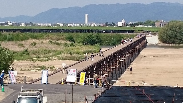
日本語: 平成27年度の復旧工事後 2016年4月30日撮影 |
Date | |
Source | Own work |
Author | Nodaunji |
Openstreetmap entry InfoField | Link to Openstreetmap |
Object location | 34° 52′ 05.2″ N, 135° 44′ 52.3″ E | View this and other nearby images on: OpenStreetMap | 34.868099; 135.747872 |
---|
Licensing
[edit]I, the copyright holder of this work, hereby publish it under the following license:
This file is licensed under the Creative Commons Attribution-Share Alike 4.0 International license.
- You are free:
- to share – to copy, distribute and transmit the work
- to remix – to adapt the work
- Under the following conditions:
- attribution – You must give appropriate credit, provide a link to the license, and indicate if changes were made. You may do so in any reasonable manner, but not in any way that suggests the licensor endorses you or your use.
- share alike – If you remix, transform, or build upon the material, you must distribute your contributions under the same or compatible license as the original.
File history
Click on a date/time to view the file as it appeared at that time.
Date/Time | Thumbnail | Dimensions | User | Comment | |
---|---|---|---|---|---|
current | 10:39, 9 February 2017 | 1,920 × 1,080 (597 KB) | Nodaunji (talk | contribs) | Cross-wiki upload from ja.wikipedia.org |
You cannot overwrite this file.
File usage on Commons
The following page uses this file:
File usage on other wikis
The following other wikis use this file:
- Usage on ja.wikipedia.org
Metadata
This file contains additional information such as Exif metadata which may have been added by the digital camera, scanner, or software program used to create or digitize it. If the file has been modified from its original state, some details such as the timestamp may not fully reflect those of the original file. The timestamp is only as accurate as the clock in the camera, and it may be completely wrong.
Camera manufacturer | SONY |
---|---|
Camera model | SO-03F |
Exposure time | 1/2,500 sec (0.0004) |
F-number | f/2 |
ISO speed rating | 50 |
Date and time of data generation | 14:06, 30 April 2016 |
Lens focal length | 4.9 mm |
Latitude | 34° 52′ 3.57″ N |
Longitude | 135° 44′ 50.61″ E |
Width | 3,840 px |
Height | 2,160 px |
Bits per component |
|
Pixel composition | RGB |
Orientation | Normal |
Number of components | 3 |
Horizontal resolution | 72 dpi |
Vertical resolution | 72 dpi |
Software used | Adobe Photoshop CS6 (Windows) |
File change date and time | 19:35, 9 February 2017 |
Y and C positioning | Centered |
Exif version | 2.2 |
Date and time of digitizing | 14:06, 30 April 2016 |
Meaning of each component |
|
APEX shutter speed | 11.28 |
APEX aperture | 2 |
APEX exposure bias | 0 |
Metering mode | Pattern |
Light source | Unknown |
Flash | Flash did not fire, auto mode |
DateTime subseconds | 916681 |
DateTimeOriginal subseconds | 916681 |
DateTimeDigitized subseconds | 916681 |
Supported Flashpix version | 1 |
Color space | sRGB |
Custom image processing | Normal process |
Exposure mode | Auto exposure |
White balance | Auto white balance |
Digital zoom ratio | 4.29 |
Scene capture type | Landscape |
Subject distance range | Unknown |
Unique image ID | 8dcf22bf55adc75f0000000000000000 |
GPS time (atomic clock) | 05:06 |
GPS date | 30 April 2016 |
GPS tag version | 0.0.2.2 |
Date metadata was last modified | 04:35, 10 February 2017 |
Unique ID of original document | 6992D088BB1C5D368B120BB4D7EBF8DE |
IIM version | 63,112 |