File:2021-09-24 Turrach Kornockbahn1.jpg
Jump to navigation
Jump to search
Size of this preview: 800 × 533 pixels. Other resolutions: 320 × 213 pixels | 640 × 426 pixels | 1,024 × 682 pixels | 1,280 × 852 pixels | 2,560 × 1,704 pixels | 5,456 × 3,632 pixels.
Original file (5,456 × 3,632 pixels, file size: 14.96 MB, MIME type: image/jpeg)
Captions
Captions
Add a one-line explanation of what this file represents
Summary[edit]
| Description |
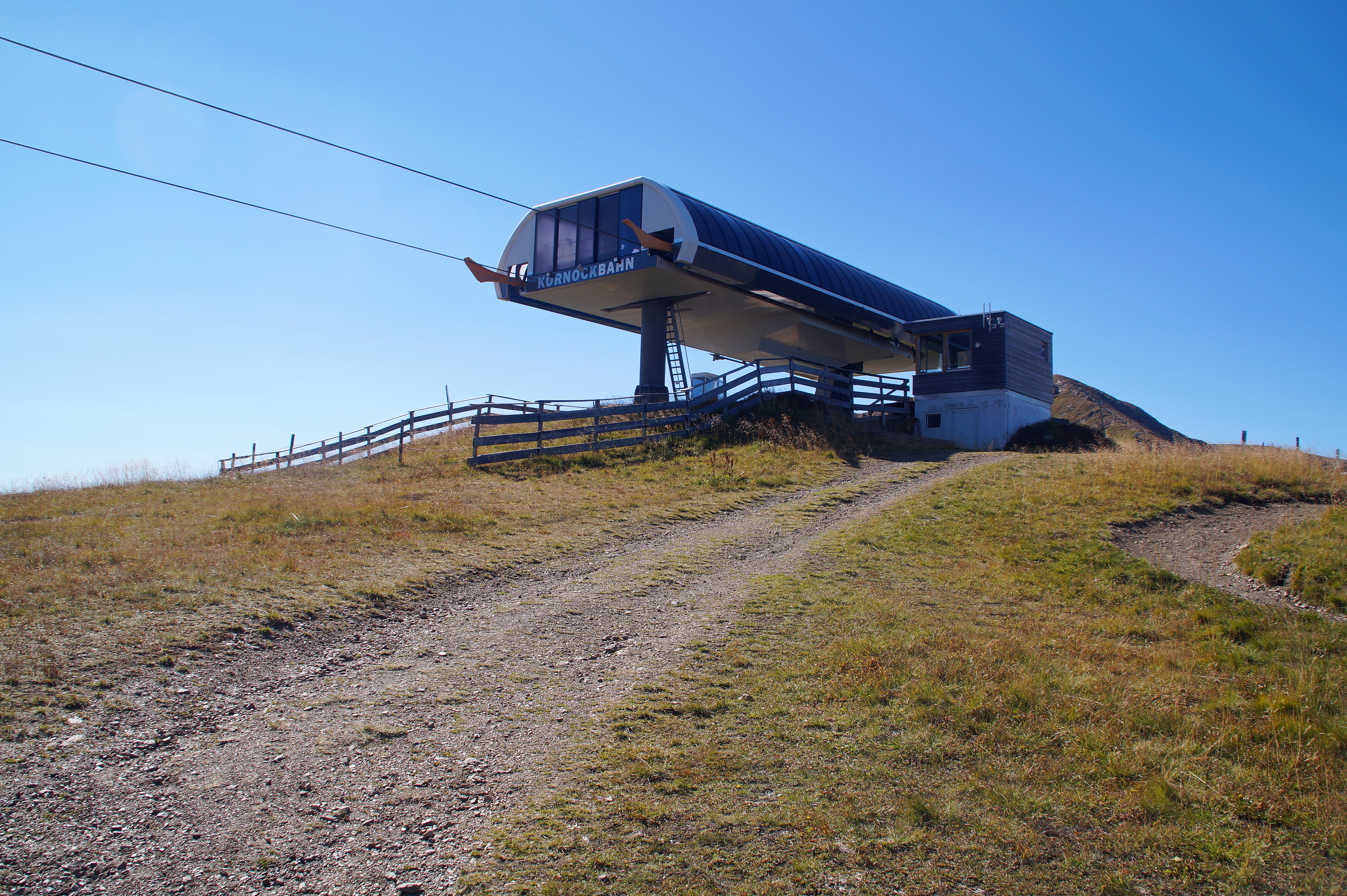
Deutsch: Auf der Turracherhöhe am Kornock, Bergstation der Kornockbahn. Reichenau, Kärnten, Österreich
'Turracher Höhe Pass' (Q872329) |
| Date | |
| Source | Own work |
| Author | Robert Kropf |
| Camera location | | View this and other nearby images on: OpenStreetMap |
|---|
|
|
Deutsch: Dieses Foto wurde von Robert Kropf (User:TheRunnerUp) erstellt und unter der Lizenz CC BY-SA 4.0 veröffentlicht. Das Bild kann frei verwendet werden, wenn die Lizenzbestimmungen eingehalten werden. Das Betrifft insbesondere die Nennung des Namens und der Lizenz in der Form: © Robert Kropf (CC BY-SA 4.0). Genaueres finden Sie in der Beschreibung der Lizenz
English: This photo was taken by Robert Kropf (User:TheRunnerUp) and released under the license CC BY-SA 4.0. You are free to use it for any purpose as long as you credit me as the author in the following format: © Robert Kropf (CC BY-SA 4.0) and follow the terms of the license, which you can find here.
|
|
|
|
This file has been released under a license which is incompatible with Facebook's licensing terms. It is not permitted to upload this file to Facebook. |
Licensing[edit]
I, the copyright holder of this work, hereby publish it under the following license:
This file is licensed under the Creative Commons Attribution-Share Alike 4.0 International license.
- You are free:
- to share – to copy, distribute and transmit the work
- to remix – to adapt the work
- Under the following conditions:
- attribution – You must give appropriate credit, provide a link to the license, and indicate if changes were made. You may do so in any reasonable manner, but not in any way that suggests the licensor endorses you or your use.
- share alike – If you remix, transform, or build upon the material, you must distribute your contributions under the same or compatible license as the original.

|
Diese Datei wurde im Rahmen von WikiDaheim 2021 in Österreich erstellt und hochgeladen. Sie wurde dem Themenbereich Wikidata zugeordnet. |
File history
Click on a date/time to view the file as it appeared at that time.
| Date/Time | Thumbnail | Dimensions | User | Comment | |
|---|---|---|---|---|---|
| current | 18:25, 3 October 2021 | | 5,456 × 3,632 (14.96 MB) | TheRunnerUp (talk | contribs) | Uploaded own work with UploadWizard |
You cannot overwrite this file.
File usage on Commons
The following page uses this file: