File:20210501川井大橋03.jpg
From Wikimedia Commons, the free media repository
Jump to navigation
Jump to search
![File:20210501川井大橋03.jpg](https://upload.wikimedia.org/wikipedia/commons/thumb/b/ba/20210501%E5%B7%9D%E4%BA%95%E5%A4%A7%E6%A9%8B03.jpg/800px-20210501%E5%B7%9D%E4%BA%95%E5%A4%A7%E6%A9%8B03.jpg?20210506063631)
Size of this preview: 800 × 600 pixels. Other resolutions: 320 × 240 pixels | 640 × 480 pixels | 1,024 × 768 pixels | 1,280 × 960 pixels | 2,560 × 1,920 pixels | 4,032 × 3,024 pixels.
Original file (4,032 × 3,024 pixels, file size: 5.89 MB, MIME type: image/jpeg)
File information
Structured data
Captions
Captions
Add a one-line explanation of what this file represents
小千谷市道川井細島芋坂線の信濃川に架かる川井大橋
Summary
[edit]Description20210501川井大橋03.jpg |
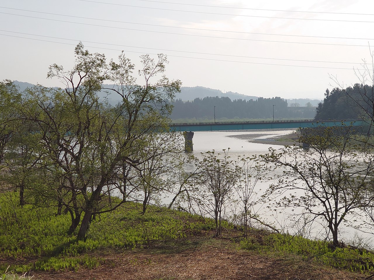
日本語: 川井大橋を信濃川左岸上流側より撮影。新潟県小千谷市、2021年5月1日。 |
Date | |
Source | Own work |
Author | 佐藤莞嬴 |
Camera location | 37° 15′ 42.56″ N, 138° 48′ 52.85″ E ![]() | View this and other nearby images on: OpenStreetMap | ![]() |
---|
Licensing
[edit]I, the copyright holder of this work, hereby publish it under the following license:
![w:en:Creative Commons](https://upload.wikimedia.org/wikipedia/commons/thumb/7/79/CC_some_rights_reserved.svg/90px-CC_some_rights_reserved.svg.png)
![attribution](https://upload.wikimedia.org/wikipedia/commons/thumb/1/11/Cc-by_new_white.svg/24px-Cc-by_new_white.svg.png)
![share alike](https://upload.wikimedia.org/wikipedia/commons/thumb/d/df/Cc-sa_white.svg/24px-Cc-sa_white.svg.png)
This file is licensed under the Creative Commons Attribution-Share Alike 4.0 International license.
- You are free:
- to share – to copy, distribute and transmit the work
- to remix – to adapt the work
- Under the following conditions:
- attribution – You must give appropriate credit, provide a link to the license, and indicate if changes were made. You may do so in any reasonable manner, but not in any way that suggests the licensor endorses you or your use.
- share alike – If you remix, transform, or build upon the material, you must distribute your contributions under the same or compatible license as the original.
File history
Click on a date/time to view the file as it appeared at that time.
Date/Time | Thumbnail | Dimensions | User | Comment | |
---|---|---|---|---|---|
current | 06:36, 6 May 2021 | ![]() | 4,032 × 3,024 (5.89 MB) | 佐藤莞嬴 (talk | contribs) | Uploaded own work with UploadWizard |
You cannot overwrite this file.
File usage on Commons
The following page uses this file:
File usage on other wikis
The following other wikis use this file:
Metadata
This file contains additional information such as Exif metadata which may have been added by the digital camera, scanner, or software program used to create or digitize it. If the file has been modified from its original state, some details such as the timestamp may not fully reflect those of the original file. The timestamp is only as accurate as the clock in the camera, and it may be completely wrong.
Exposure time | 1/1,000 sec (0.001) |
---|---|
F-number | f/2.4 |
Date and time of data generation | 07:40, 1 May 2021 |
Lens focal length | 6.95 mm |
Latitude | 37° 15′ 42.56″ N |
Longitude | 138° 48′ 52.85″ E |
Altitude | 128.724 meters above sea level |
Orientation | Normal |
Horizontal resolution | 72 dpi |
Vertical resolution | 72 dpi |
File change date and time | 07:40, 1 May 2021 |
Y and C positioning | Centered |
Date and time of digitizing | 07:40, 1 May 2021 |
Meaning of each component |
|
APEX shutter speed | 9.96 |
APEX exposure bias | 0 |
Light source | Cloudy weather |
DateTime subseconds | 022679 |
DateTimeOriginal subseconds | 022679 |
DateTimeDigitized subseconds | 022679 |
Supported Flashpix version | 1 |
Color space | sRGB |
Custom image processing | Normal process |
Exposure mode | Auto exposure |
Digital zoom ratio | 1 |
Scene capture type | Standard |
Subject distance range | Unknown |
GPS time (atomic clock) | 22:40 |
Receiver status | Measurement in progress |
Geodetic survey data used | WGS-84 |
GPS date | 30 April 2021 |
GPS tag version | 2.2.0.0 |
Rating (out of 5) | 0 |