File:2022 Oklahoma gubernatorial election results map by congressional district.svg
Jump to navigation
Jump to search

Size of this PNG preview of this SVG file: 800 × 399 pixels. Other resolutions: 320 × 160 pixels | 640 × 319 pixels | 1,024 × 511 pixels | 1,280 × 638 pixels | 2,560 × 1,277 pixels | 810 × 404 pixels.
Original file (SVG file, nominally 810 × 404 pixels, file size: 620 KB)
Captions
Captions
Add a one-line explanation of what this file represents
Summary
[edit]
| Description |
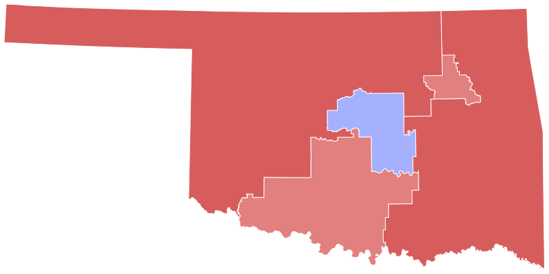
English: Results of the 2020 United States presidential election in Oklahoma. Data from the Oklahoma State Election Board. Congressional district shapefile from the University of Oklahoma Center for Spatial Analysis. Early and absentee votes in Oklahoma County and Tulsa County were formulaically allocated to the precinct level based on election day results. Precinct results were aggregated to acquire congressional district results. |
| Date | |
| Source | Own work |
| Author | Master of Time |
Licensing
[edit]
I, the copyright holder of this work, hereby publish it under the following license:
This file is licensed under the Creative Commons Attribution-Share Alike 4.0 International license.
- You are free:
- to share – to copy, distribute and transmit the work
- to remix – to adapt the work
- Under the following conditions:
- attribution – You must give appropriate credit, provide a link to the license, and indicate if changes were made. You may do so in any reasonable manner, but not in any way that suggests the licensor endorses you or your use.
- share alike – If you remix, transform, or build upon the material, you must distribute your contributions under the same or compatible license as the original.
File history
Click on a date/time to view the file as it appeared at that time.
| Date/Time | Thumbnail | Dimensions | User | Comment | |
|---|---|---|---|---|---|
| current | 14:59, 27 September 2023 | | 810 × 404 (620 KB) | Putitonamap98 (talk | contribs) | shapes |
| 02:05, 16 July 2023 |  | 810 × 404 (628 KB) | CrookCoMaps61 (talk | contribs) | Shapes | |
| 10:45, 9 November 2022 |  | 3,784 × 1,923 (1,016 KB) | Master of Time (talk | contribs) | == {{int:filedesc}} == {{Information |description={{en|1=Results of the 2020 United States presidential election in Oklahoma. [https://results.okelections.us/OKER/?elecDate=20221108 Data from the Oklahoma State Election Board]. Congressional district shapefile from the University of Oklahoma Center for Spatial Analysis. Early and absentee votes in Oklahoma County and Tulsa County were formulaically allocated to the precinct level base... |
You cannot overwrite this file.
File usage on Commons
The following 3 pages use this file:
File usage on other wikis
The following other wikis use this file:
- Usage on en.wikipedia.org
- Usage on zh.wikipedia.org