File:31 - Bessières - Eglise Saint Jean-Baptiste - La nef et le choeur.jpg
Jump to navigation
Jump to search

Size of this preview: 633 × 599 pixels. Other resolutions: 254 × 240 pixels | 507 × 480 pixels | 811 × 768 pixels | 1,082 × 1,024 pixels | 2,163 × 2,048 pixels | 3,693 × 3,496 pixels.
Original file (3,693 × 3,496 pixels, file size: 8.22 MB, MIME type: image/jpeg)
Captions
Captions
Add a one-line explanation of what this file represents
Summary[edit]
|
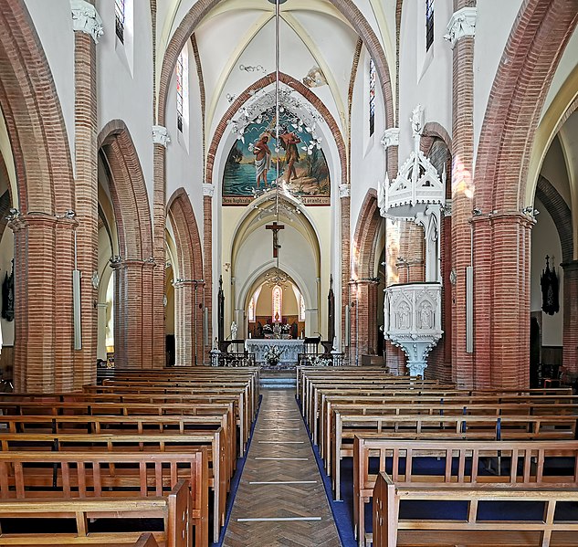
Église Saint Jean-Baptiste de Bessières, France - Vue de la nef et du chœur | |||||||||||||||||||||||||||||||||
|
| |||||||||||||||||||||||||||||||||


| Annotations | This image is annotated: View the annotations at Commons |
File history
Click on a date/time to view the file as it appeared at that time.
| Date/Time | Thumbnail | Dimensions | User | Comment | |
|---|---|---|---|---|---|
| current | 09:58, 27 August 2020 | | 3,693 × 3,496 (8.22 MB) | Archaeodontosaurus (talk | contribs) | {{Information |Description= |Source={{own}} |Date= |Author= Archaeodontosaurus |Permission= |other_versions= }} |
You cannot overwrite this file.
File usage on Commons
The following 10 pages use this file:
- Commons:Valued image candidates/31 - Bessières - Eglise Saint Jean-Baptiste - La nef et le choeur.jpg
- File:31 - Bessières - Eglise Saint Jean-Baptiste - Chapelle des fonts baptismaux.jpg
- File:31 - Bessières - Eglise Saint Jean-Baptiste - La Façade.jpg
- File:31 - Bessières - Eglise Saint Jean-Baptiste - La nef et le choeur.jpg
- File:31 - Bessières - Eglise Saint Jean-Baptiste - Le choeur et l'autel neo-gothique.jpg
- File:31 - Bessières - Eglise Saint Jean-Baptiste - Monument aux morts.jpg
- File:Bessières Eglise Saint Jean Baptiste, place de l'église.jpg
- File:Bessières Eglise Saint Jean Baptiste.jpg
- File:Bessières Eglise Saint Jean Baptiste Le clocher.jpg
- Category:Église Saint Jean-Baptiste de Bessières
File usage on other wikis
The following other wikis use this file:
- Usage on www.wikidata.org