File:32K-445 expressway 17.jpg
Jump to navigation
Jump to search
No higher resolution available.
32K-445_expressway_17.jpg (629 × 431 pixels, file size: 34 KB, MIME type: image/jpeg)
Captions
Captions
Add a one-line explanation of what this file represents
Summary
[edit]
| Description |
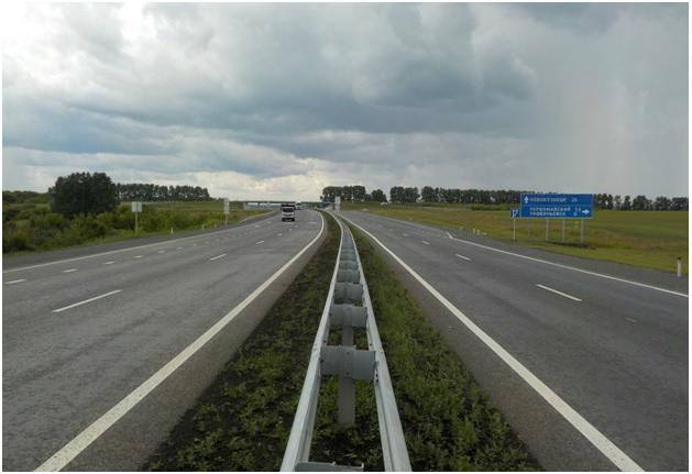
Français : Photo de la voie rapide 32K-445 Kemerovo - Novoukouznetsk (la section autoroutière était de Kemerovo à Leninsk-Kouznetski).
Photo prise dans le raïon de Prokopievsk, au niveau de la sortie vers Pervomaïski et Prokopievsk. Sur le panneau :
|
| Date | |
| Source | https://bkdrf.ru/map/kemerovo |
| Author | Bkdrf |
| Camera location | | View this and other nearby images on: OpenStreetMap |
|---|
Licensing
[edit]

|
Это произведение взято с сайта (bkdrf.ru) Национального проекта «Безопасные и качественные автомобильные дороги»
и защищено авторским правом.
Оно распространяется на условиях лицензии Creative Commons Attribution 4.0. Коротко: Вы можете без ограничений распространять данное произведение, изменять и использовать его в любых (в том числе коммерческих) целях при условии обязательной ссылки на первоисточник.
|
This file is licensed under the Creative Commons Attribution 4.0 International license.
Attribution: bkdrf.ru
- You are free:
- to share – to copy, distribute and transmit the work
- to remix – to adapt the work
- Under the following conditions:
- attribution – You must give appropriate credit, provide a link to the license, and indicate if changes were made. You may do so in any reasonable manner, but not in any way that suggests the licensor endorses you or your use.
File history
Click on a date/time to view the file as it appeared at that time.
| Date/Time | Thumbnail | Dimensions | User | Comment | |
|---|---|---|---|---|---|
| current | 11:45, 10 July 2023 | | 629 × 431 (34 KB) | Lillian Rínkū (talk | contribs) | Uploaded a work by Bkdrf from https://bkdrf.ru/map/kemerovo with UploadWizard |
You cannot overwrite this file.
File usage on Commons
There are no pages that use this file.