File:45-ZI-Vals.png
Jump to navigation
Jump to search

Size of this preview: 800 × 519 pixels. Other resolutions: 320 × 208 pixels | 640 × 416 pixels | 1,024 × 665 pixels | 1,280 × 831 pixels | 2,560 × 1,662 pixels | 5,457 × 3,543 pixels.
Original file (5,457 × 3,543 pixels, file size: 1,022 KB, MIME type: image/png)
Captions
Captions
Add a one-line explanation of what this file represents
Summary[edit]
| Description |
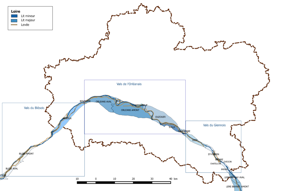
Français : Découpage en vals de la Loire dans le département du Loiret. |
| Date | |
| Source | Own work |
| Author | Roland45 and OpenStreetMap contributors |
- Découpage administratif communal et départemental : Export simple de janvier 2016 - vérifié et simplifié à 5 m sur le site du portail de données libres du gouvernement français
- Découpage des vals: Données SIG sur la prévention des inondations archive copy at the Wayback Machine sur le site du Plan Loire Grandeur Nature
Assemblé et enrichi dans fr:QGis et dans Adobe Illustrator.
Licensing[edit]
I, the copyright holder of this work, hereby publish it under the following license:
This file is licensed under the Creative Commons Attribution-Share Alike 4.0 International license.
- You are free:
- to share – to copy, distribute and transmit the work
- to remix – to adapt the work
- Under the following conditions:
- attribution – You must give appropriate credit, provide a link to the license, and indicate if changes were made. You may do so in any reasonable manner, but not in any way that suggests the licensor endorses you or your use.
- share alike – If you remix, transform, or build upon the material, you must distribute your contributions under the same or compatible license as the original.
File history
Click on a date/time to view the file as it appeared at that time.
| Date/Time | Thumbnail | Dimensions | User | Comment | |
|---|---|---|---|---|---|
| current | 10:09, 20 February 2017 | | 5,457 × 3,543 (1,022 KB) | Roland45 (talk | contribs) | =={{int:filedesc}}== {{Information |description={{fr|1=Découpage en vals de la Loire dans le département du Loiret.}} |date=2017-02-20 |source={{own}} |author= Roland45 and OpenStreetMap contributors |permission= |other versions= }... |
You cannot overwrite this file.
File usage on Commons
There are no pages that use this file.
File usage on other wikis
The following other wikis use this file:
- Usage on fr.wikipedia.org