File:AT1401 map.png
Aller à la navigation
Aller à la recherche
Taille de cet aperçu : 614 × 600 pixels. Autres résolutions : 246 × 240 pixels | 491 × 480 pixels | 824 × 805 pixels.
Fichier d’origine (824 × 805 pixels, taille du fichier : 24 kio, type MIME : image/png)
Légendes
Légendes
Ajoutez en une ligne la description de ce que représente ce fichier
Description[modifier]
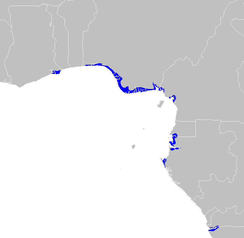
| Description | Central African mangroves ecoregion map |
| Date | |
| Source | Travail personnel |
| Auteur | Altatoron |
Conditions d’utilisation[modifier]
| Moi, propriétaire des droits d’auteur sur cette œuvre, la place dans le domaine public. Ceci s'applique dans le monde entier. Dans certains pays, ceci peut ne pas être possible ; dans ce cas : J’accorde à toute personne le droit d’utiliser cette œuvre dans n’importe quel but, sans aucune condition, sauf celles requises par la loi. |
Historique du fichier
Cliquer sur une date et heure pour voir le fichier tel qu'il était à ce moment-là.
| Date et heure | Vignette | Dimensions | Utilisateur | Commentaire | |
|---|---|---|---|---|---|
| actuel | 30 janvier 2008 à 12:56 | | 824 × 805 (24 kio) | Doreano~commonswiki (d | contributions) | {{Information |Description=Central African mangroves ecoregion map |Source=self-made |Date=2008/1/30 |Author= Altatoron |Permission= |other_versions= }} Category:Maps of Angola Category:Maps of Cameroon [[Category:Maps of Gabon] |
Vous ne pouvez pas remplacer ce fichier.
Utilisations locales du fichier
Aucune page n’utilise ce fichier.
Utilisations du fichier sur d’autres wikis
Les autres wikis suivants utilisent ce fichier :
- Utilisation sur ca.wikipedia.org
- Utilisation sur de.wikipedia.org
- Utilisation sur en.wikipedia.org
- Utilisation sur eo.wikipedia.org
- Utilisation sur es.wikipedia.org
- Utilisation sur fr.wikipedia.org
- Utilisation sur it.wikipedia.org
- Utilisation sur nl.wikipedia.org
- Utilisation sur ru.wikipedia.org
- Utilisation sur uk.wikipedia.org
- Utilisation sur www.wikidata.org
Catégories :
- Maps of Angola
- Maps of Cameroon
- Maps of Gabon
- Maps of the biogeography of Ghana
- Maps of Equatorial Guinea
- Maps of Nigeria
- Maps of the Democratic Republic of the Congo
- WWF biome 14 ecoregions
- Afrotropical ecoregion maps
- Mangroves of Africa
- Mangroves in Nigeria
- Mangroves in Ghana
- Mangroves in Cameroon
- Mangroves in Gabon