File:A new map of the province of Quebec, according to the Royal Proclamation, of the 7th of October 1763. - From the (IA McGillLibrary-rbsc-maps G3450 1763 C3-17131).pdf
Aller à la navigation
Aller à la recherche

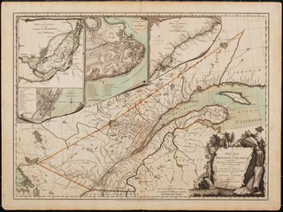
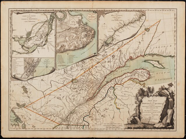
Taille de cet aperçu JPG pour ce fichier PDF : 798 × 599 pixels. Autres résolutions : 320 × 240 pixels | 639 × 480 pixels | 1 023 × 768 pixels | 1 280 × 961 pixels | 2 560 × 1 923 pixels | 4 360 × 3 275 pixels.
Fichier d’origine (4 360 × 3 275 pixels, taille du fichier : 135,14 Mio, type MIME : application/pdf)
Légendes
Légendes
Ajoutez en une ligne la description de ce que représente ce fichier
Description
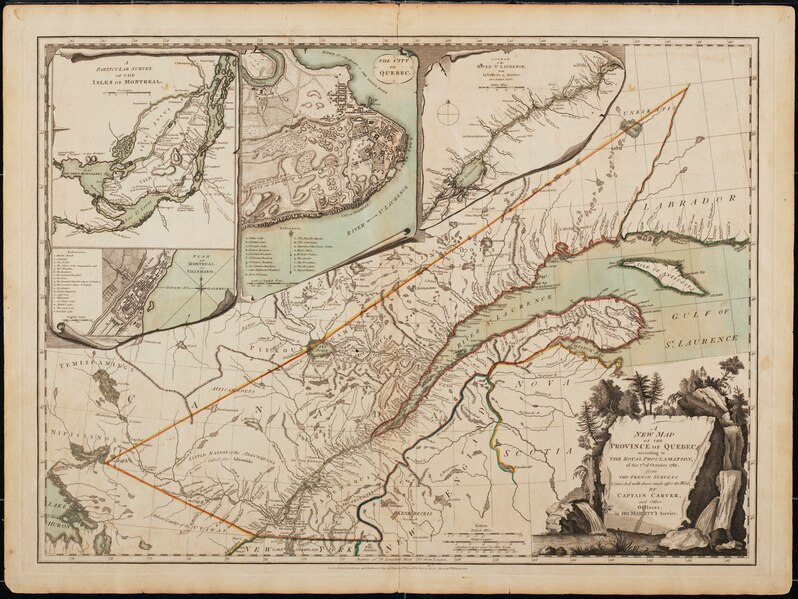
[modifier]| A new map of the province of Quebec, according to the Royal Proclamation, of the 7th of October 1763. : From the French surveys connected with those made after the war.
( |
|
|---|---|
| Auteur |
|
| Titre |
A new map of the province of Quebec, according to the Royal Proclamation, of the 7th of October 1763. : From the French surveys connected with those made after the war. |
| Éditeur de publication |
London. : Printed for Robt. Sayer and John Bennett, map and print sellers, No. 53 in Fleet Street, as the Act directs. |
| Description |
Subjects: North America -- Maps -- Early works to 1800.; Québec (Province) -- Maps -- Early works to 1800.; Montréal (Québec) -- Maps -- Early works to 1800.; Saint Lawrence River -- Maps -- Early works to 1800.; Great Britain -- Colonies -- America -- Maps -- Early works to 1800.; Canada -- Québec (Province) -- naf; McGill University Library Digitized Title; Canadian Maps Project; British colonies |
| Langue | anglais |
| Date de publication | 1776 |
| Lieu actuel |
IA Collections: mcgilluniversity; mcgilluniversityrarebooks; toronto |
| Numéro d’inventaire |
McGillLibrary-rbsc-maps_G3450_1763_C3-17131 |
| Source |
|
Conditions d’utilisation
[modifier]|
Cette œuvre est également dans le domaine public dans tous les pays pour lesquels le droit d’auteur a une durée de vie de 100 ans ou moins après la mort de l’auteur. Cette œuvre est dans le domaine public aux États-Unis car elle a été publiée avant le 1er janvier 1929. | |
| Ce fichier a été identifié comme étant exempt de restrictions connues liées au droit d’auteur, y compris tous les droits connexes et voisins. | |
Historique du fichier
Cliquer sur une date et heure pour voir le fichier tel qu'il était à ce moment-là.
| Date et heure | Vignette | Dimensions | Utilisateur | Commentaire | |
|---|---|---|---|---|---|
| actuel | 2 janvier 2021 à 04:55 |  | 4 360 × 3 275 (135,14 Mio) | Fæ (d | contributions) | IA Query "subject:maps date:[1000 TO 1869] " McGillLibrary-rbsc-maps_G3450_1763_C3-17131 Category:Old maps (COM:IA books#query) (retry 3) (1776 #200) |
Vous ne pouvez pas remplacer ce fichier.
Utilisations locales du fichier
La page suivante utilise ce fichier :
Utilisations du fichier sur d’autres wikis
Les autres wikis suivants utilisent ce fichier :
- Utilisation sur fr.wikipedia.org