File:Administrative Map of Urupinsky district (2019).jpg

Original file (1,158 × 1,034 pixels, file size: 189 KB, MIME type: image/jpeg)
Captions
Captions
Summary
[edit].jpg&action=edit§ion=1)
| Description |
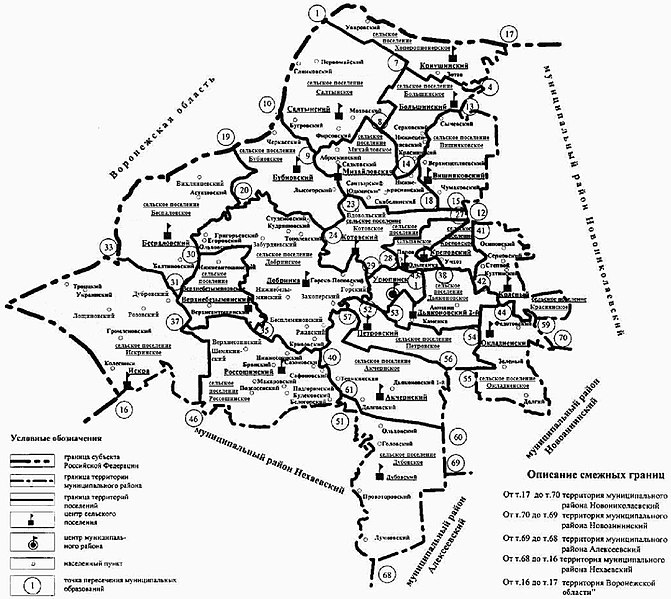
English: Map of municipal district Urupinsky of Volgograd Oblast
Русский: Карта-схема муниципального района Урюпинский Волгоградской области из Закона Волгоградской области от 30.03.2005 № 1037-ОД «Об установлении границ и наделении статусом Урюпинского района и муниципальных образований в его составе» (Приложение 2) и Закона Волгоградской области от 26.04.2019 № 38-ОД Об объединении отдельных сельских поселений, входящих в состав Урюпинского муниципального района Волгоградской области, о внесении изменений в Закон Волгоградской области от 30 марта 2005 г. N 1037-ОД "Об установлении границ и наделении статусом Урюпинского района и муниципальных образований в его составе" и Закон Волгоградской области от 18 ноября 2005 г. N 1120-ОД "Об установлении наименований органов местного самоуправления в Волгоградской области" |
| Date | |
| Source | http://volgoduma.ru |
| Author | Волгоградская областная Дума |
Licensing
[edit].jpg&action=edit§ion=2)
This work is not an object of copyright according to article 1259 of Book IV of the Civil Code of the Russian Federation No. 230-FZ of December 18, 2006.
Shall not be objects of copyright:
|
 | |
|
Comment – This license tag is also applicable to official documents, state symbols and signs of the Russian Soviet Federative Socialist Republic and the Union of Soviet Socialist Republics (union level[1]).
Warning – This license tag is not applicable to drafts of official documents, proposed official symbols and signs, which can be copyrighted. Warning – This Russian official document, state symbol or sign (postage stamps, coins and banknotes mainly) may incorporate one or more works that can be copyrightable if separated from this document, symbol or sign. In such a case, this work is not an object of copyright if reused in its entirety but, at the same time, extracting specific portions from this work could constitute copyright infringement. For example, the denomination and country name must be preserved on postage stamps.
|
File history
Click on a date/time to view the file as it appeared at that time.
| Date/Time | Thumbnail | Dimensions | User | Comment | |
|---|---|---|---|---|---|
| current | 18:30, 3 June 2019 | | 1,158 × 1,034 (189 KB) | Andrej500 (talk | contribs) | {{Information |description ={{en|1=Map of municipal district Urupinsky of Volgograd Oblast}} {{ru|1=Карта-схема муниципального района Урюпинский Волгоградской области из Закона Волгоградской области от 30.03.2005 № 1037-ОД «Об установлении границ и наделении статусом Урюпинского района и муниципальных образований в его составе» (Приложение 2) и Закона Волгоградской области от 26.04.2019 № 38-ОД Об объединении отдельных сельских поселений, входящих в состав Урюпинского муниципального района... |
You cannot overwrite this file.
File usage on Commons
There are no pages that use this file.
File usage on other wikis
The following other wikis use this file:
- Usage on ru.wikisource.org
.jpg&oldid=782245034)