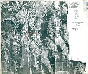
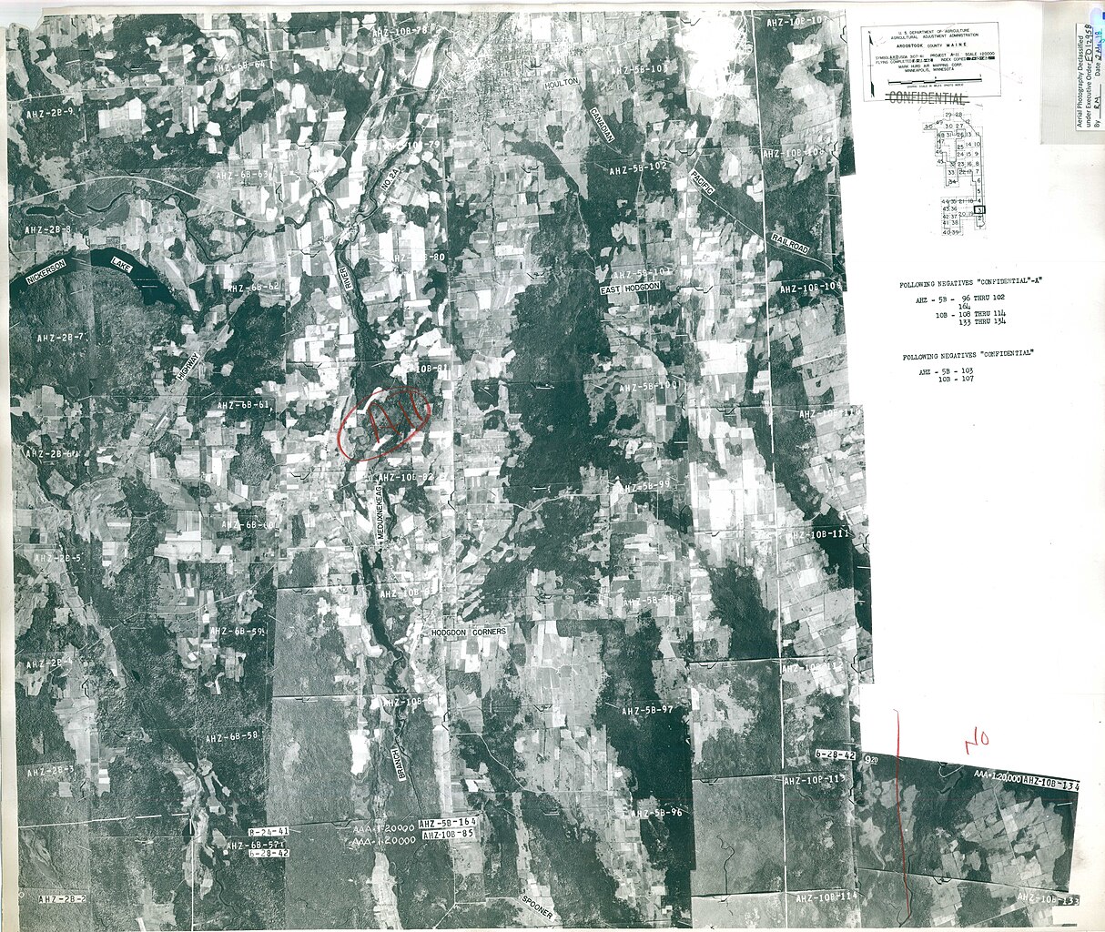
File:Aerial Photography Index for Aroostook County, Maine, Sheet 3 - DPLA - b9930460c284773327d303d3cb832567.jpg
Jump to navigation
Jump to search

Size of this preview: 711 × 600 pixels. Other resolutions: 285 × 240 pixels | 569 × 480 pixels | 910 × 768 pixels | 1,214 × 1,024 pixels | 2,427 × 2,048 pixels | 7,096 × 5,988 pixels.
Original file (7,096 × 5,988 pixels, file size: 7.64 MB, MIME type: image/jpeg)
Captions
Captions
Add a one-line explanation of what this file represents
Summary
[edit]| Aerial Photography Index for Aroostook County, Maine, Sheet 3
( |
||||||||||||||
|---|---|---|---|---|---|---|---|---|---|---|---|---|---|---|
| Creator | Department of Agriculture. Commodity Stabilization Service. Aerial Photography Field Office. ca. 1953-1961 | |||||||||||||
| Title |
Aerial Photography Index for Aroostook County, Maine, Sheet 3 |
|||||||||||||
| Date | 1942 | |||||||||||||
| Collection |
|
|||||||||||||
| Source/Photographer |
|
|||||||||||||
| Permission (Reusing this file) |
|
|||||||||||||
| Standardized rights statement |
|
|||||||||||||


File history
Click on a date/time to view the file as it appeared at that time.
| Date/Time | Thumbnail | Dimensions | User | Comment | |
|---|---|---|---|---|---|
| current | 09:57, 26 November 2020 | | 7,096 × 5,988 (7.64 MB) | DPLA bot (talk | contribs) | Uploading DPLA ID b9930460c284773327d303d3cb832567 |
You cannot overwrite this file.
File usage on Commons
The following page uses this file: