File:Aerial photo of Kōtōdai-kōen Park 01, 1984.jpg
Jump to navigation
Jump to search

Size of this preview: 800 × 537 pixels. Other resolutions: 320 × 215 pixels | 640 × 430 pixels | 1,104 × 741 pixels.
Original file (1,104 × 741 pixels, file size: 306 KB, MIME type: image/jpeg)
Captions
Captions
Add a one-line explanation of what this file represents
Summary
[edit]
| Description |
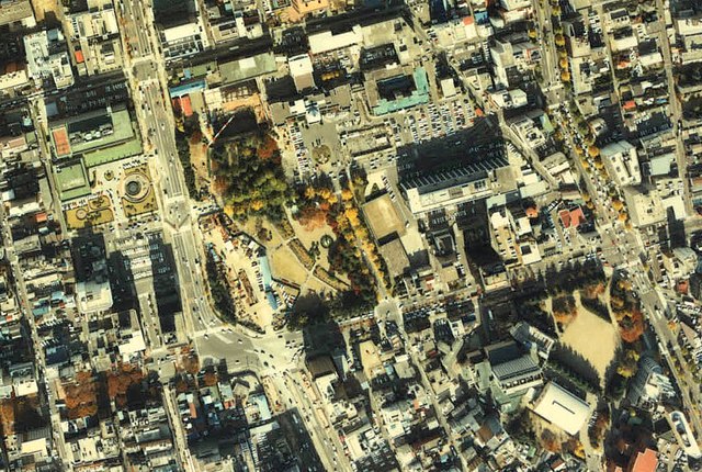
English: Aerial photo of Kōtōdai-kōen Park in fiscal 1984
日本語:1984年度(昭和59年度)に撮影された勾当台公園周辺の国土画像情報(カラー空中写真)
|
| Date | |
| Source |
「国土画像情報(カラー空中写真) 国土交通省」 http://w3land.mlit.go.jp/cgi-bin/WebGIS2/WC_AirPhoto.cgi?IT=p&DT=n&PFN=CTO-84-2&PCN=C5&IDX=15 |
| Author | retouched by neuropower |
| Camera location | | View this and other nearby images on: OpenStreetMap |
|---|
Licensing
[edit]

|
The copyright holder of this file, the Ministry of Land, Infrastructure, Transport and Tourism of Japan, allows anyone to use it for any purpose, provided that the copyright holder is properly attributed. Redistribution, derivative work, commercial use, and all other use is permitted. |
Attribution:
Copyright © National Land Image Information (Color Aerial Photographs), Ministry of Land, Infrastructure, Transport and Tourism
|
 |
This image is copyrighted by the Ministry of Land, Infrastructure, Transport and Tourism of Japan. For terms of use, see the stipulation to use of National Land Information (in Japanese) and message from MLIT (in Japanese and English). When you display this image on an article, include the following phrase in the description: "Made based on National Land Image Information (Color Aerial Photographs), Ministry of Land, Infrastructure, Transport and Tourism".
|
File history
Click on a date/time to view the file as it appeared at that time.
| Date/Time | Thumbnail | Dimensions | User | Comment | |
|---|---|---|---|---|---|
| current | 03:30, 5 April 2010 | | 1,104 × 741 (306 KB) | Neuropower (talk | contribs) | シャープ無し |
| 03:24, 5 April 2010 |  | 1,104 × 741 (483 KB) | Neuropower (talk | contribs) | {{Information |Description={{en|1=Aerial photo of Kōtōdai-kōen Park in fiscal 1984}} {{ja|1=1984年度(昭和59年度)に撮影された勾当台公園周辺の国土画像情報(カラー空中写真)}} |Source=「国土画像情報(カラ� |
You cannot overwrite this file.
File usage on Commons
There are no pages that use this file.
File usage on other wikis
The following other wikis use this file:
- Usage on ja.wikipedia.org