File:Aerial view Lorüns 2014.jpg
Jump to navigation
Jump to search

Size of this preview: 800 × 489 pixels. Other resolutions: 320 × 196 pixels | 640 × 391 pixels | 1,024 × 626 pixels | 1,280 × 783 pixels | 2,560 × 1,565 pixels | 5,000 × 3,057 pixels.
Original file (5,000 × 3,057 pixels, file size: 3.81 MB, MIME type: image/jpeg)
Captions
Captions
Add a one-line explanation of what this file represents
Summary[edit]
| Description |
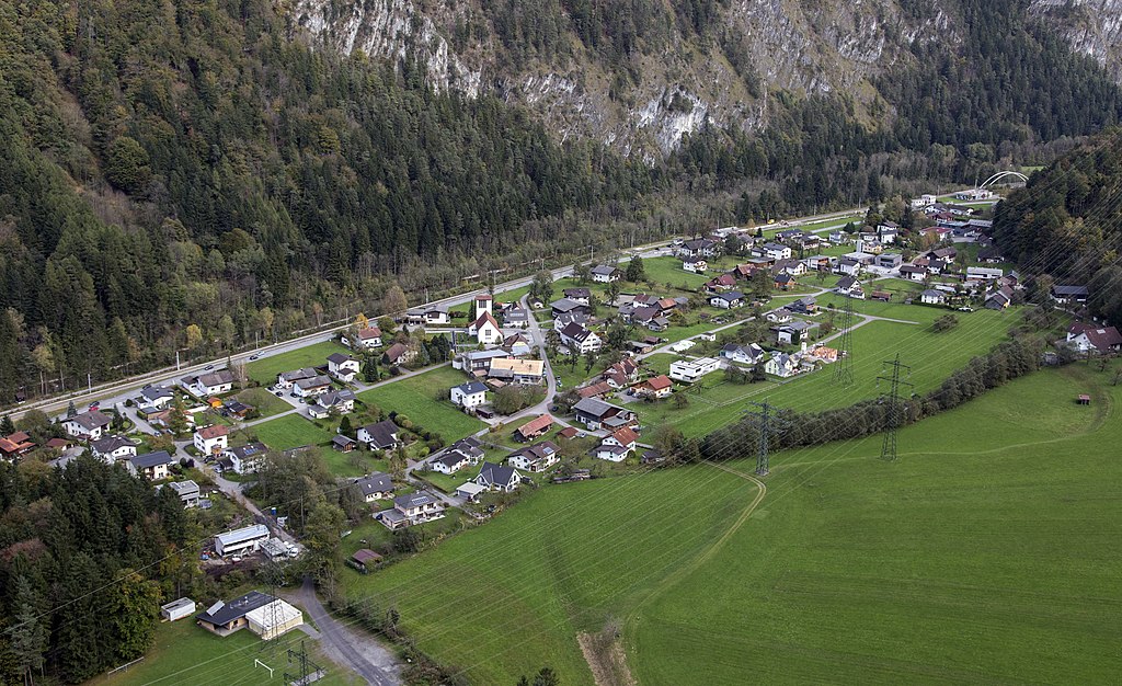
Deutsch: Luftbild der österreichischen Gemeinde Lorüns im Montafon von Südwesten aus gesehen. |
| Date | |
| Source | https://pid.volare.vorarlberg.at/o:119037 |
| Author | Raumplanung/Land Vorarlberg |
| Camera location | | View this and other nearby images on: OpenStreetMap |
|---|
Licensing[edit]
This image is available from the collection Schrägluftbilder of the Vorarlberger Landesbibliothek under the id 119037.
|
volare – Vorarlberger Landesrepositorium |
This file is licensed under the Creative Commons Attribution-Share Alike 4.0 International license.
Attribution: Foto: Raumplanung/Land Vorarlberg
- You are free:
- to share – to copy, distribute and transmit the work
- to remix – to adapt the work
- Under the following conditions:
- attribution – You must give appropriate credit, provide a link to the license, and indicate if changes were made. You may do so in any reasonable manner, but not in any way that suggests the licensor endorses you or your use.
- share alike – If you remix, transform, or build upon the material, you must distribute your contributions under the same or compatible license as the original.
File history
Click on a date/time to view the file as it appeared at that time.
| Date/Time | Thumbnail | Dimensions | User | Comment | |
|---|---|---|---|---|---|
| current | 13:59, 27 October 2021 | | 5,000 × 3,057 (3.81 MB) | Plani (talk | contribs) | Uploaded a work by Raumplanung/Land Vorarlberg from https://pid.volare.vorarlberg.at/o:119037 with UploadWizard |
You cannot overwrite this file.
File usage on Commons
The following page uses this file:
File usage on other wikis
The following other wikis use this file:
- Usage on de.wikipedia.org