File:Aerial view of Portage Bay in Seattle.jpg
Jump to navigation
Jump to search

Size of this preview: 800 × 600 pixels. Other resolutions: 320 × 240 pixels | 640 × 480 pixels | 1,024 × 768 pixels | 1,280 × 960 pixels | 2,560 × 1,920 pixels | 3,264 × 2,448 pixels.
Original file (3,264 × 2,448 pixels, file size: 3.16 MB, MIME type: image/jpeg)
Captions
Captions
Add a one-line explanation of what this file represents
Summary
[edit]
| Description |
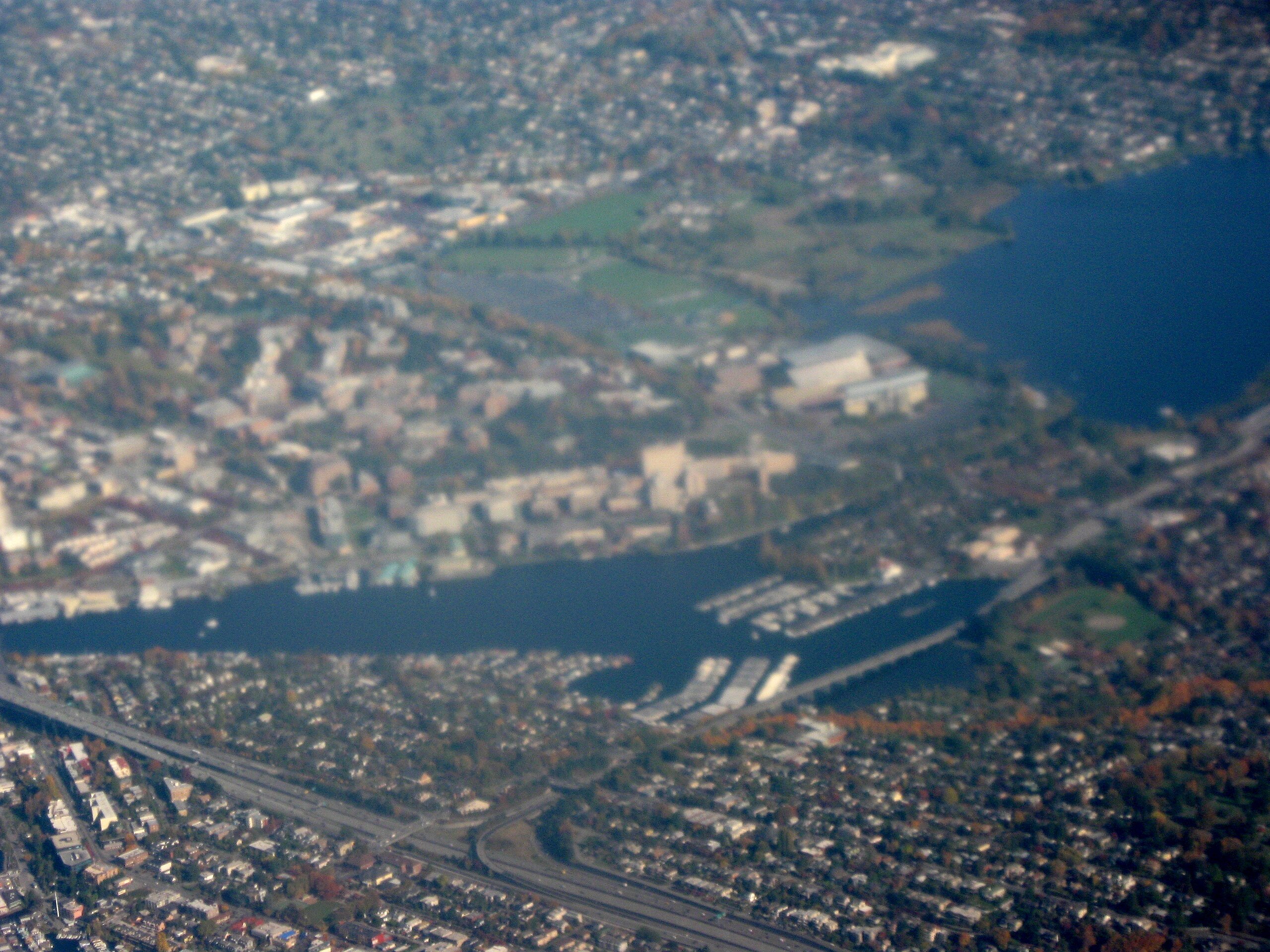
English: Looking northeast from Seattle. Highway I-520 goes from Union Bay on a causeway over Portage Bay through the Montlake area then merges onto I-5 in the lower left. The University District is on top - the large tan building on the far right near the water is Husky Stadium. To the right of Portage Bay is Montlake Playfield. Taken by myself from a commercial airliner window. |
| Date | |
| Source | Own work |
| Author | Dcoetzee |
| Camera location | | View this and other nearby images on: OpenStreetMap |
|---|
Licensing
[edit]
| I, the copyright holder of this work, release this work into the public domain. This applies worldwide. In some countries this may not be legally possible; if so: I grant anyone the right to use this work for any purpose, without any conditions, unless such conditions are required by law. |
File history
Click on a date/time to view the file as it appeared at that time.
| Date/Time | Thumbnail | Dimensions | User | Comment | |
|---|---|---|---|---|---|
| current | 02:52, 27 May 2009 | | 3,264 × 2,448 (3.16 MB) | Dcoetzee (talk | contribs) | {{Information |Description={{en|1=Looking northeast from Seattle. Highway I-520 goes from Union Bay on a causeway over Portage Bay through the Montlake area then merges onto I-5 in the lower left. The University District is on top - the large tan building |
You cannot overwrite this file.
File usage on Commons
The following page uses this file:
File usage on other wikis
The following other wikis use this file:
- Usage on en.wikipedia.org
- Usage on nl.wikipedia.org
- Usage on www.wikidata.org