File:Airway Heights in Spokane County.png
Jump to navigation
Jump to search
No higher resolution available.
Airway_Heights_in_Spokane_County.png (736 × 500 pixels, file size: 5 KB, MIME type: image/png)
Captions
Captions
Add a one-line explanation of what this file represents
Summary
[edit]
| Description |
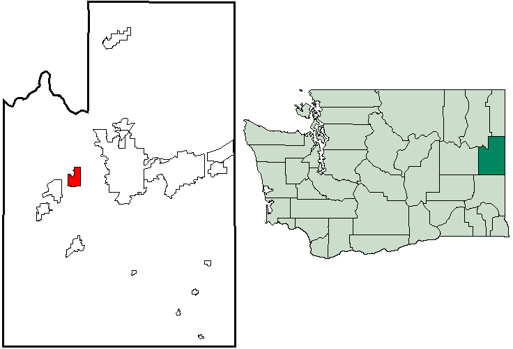
English: Map of en:Airway Heights, Washington within Spokane County, with county highlighted on en:Washington map. Created by Locke Cole from en:United States Census Bureau maps (with inspiration from Tradnor). |
| Source | see above |
| Author | see above |
Licensing
[edit]
This image or file is a work of a United States Census Bureau employee, taken or made as part of that person's official duties. As a work of the U.S. federal government, the image is in the public domain.
|
 |
Original upload log
[edit]
The original description page was here. All following user names refer to en.wikipedia.
- 2006-03-26 04:41 Locke Cole 736×500×8 (5514 bytes) Map of [[Airway Heights, Washington]] within [[Spokane County, Washington|Spokane County]], with county highlighted on [[Washington]] map. Created by [[User:Locke Cole|Locke Cole]] from [[United States Census Bureau]] maps (with inspiraton from [[User:Tr
File history
Click on a date/time to view the file as it appeared at that time.
| Date/Time | Thumbnail | Dimensions | User | Comment | |
|---|---|---|---|---|---|
| current | 07:13, 5 December 2007 | | 736 × 500 (5 KB) | File Upload Bot (Magnus Manske) (talk | contribs) | {{BotMoveToCommons|en.wikipedia}} {{Information |Description={{en|Map of en:Airway Heights, Washington within Spokane County, with county highlighted on en:Washington map. Created by [[:en:User:Locke Cole|Loc |
You cannot overwrite this file.
File usage on Commons
There are no pages that use this file.
File usage on other wikis
The following other wikis use this file:
- Usage on en.wikipedia.org
- Usage on eo.wikipedia.org