File:Akita Prefecture Forest Technology Center.jpg
From Wikimedia Commons, the free media repository
Jump to navigation
Jump to search
Size of this preview: 800 × 450 pixels. Other resolutions: 320 × 180 pixels | 640 × 360 pixels | 1,024 × 576 pixels | 1,280 × 720 pixels | 3,072 × 1,728 pixels.
Original file (3,072 × 1,728 pixels, file size: 1.97 MB, MIME type: image/jpeg)
File information
Structured data
Captions
Summary
[edit]Camera location | 39° 37′ 34.13″ N, 140° 12′ 17.68″ E | View this and other nearby images on: OpenStreetMap | 39.626148; 140.204912 |
---|
DescriptionAkita Prefecture Forest Technology Center.jpg |
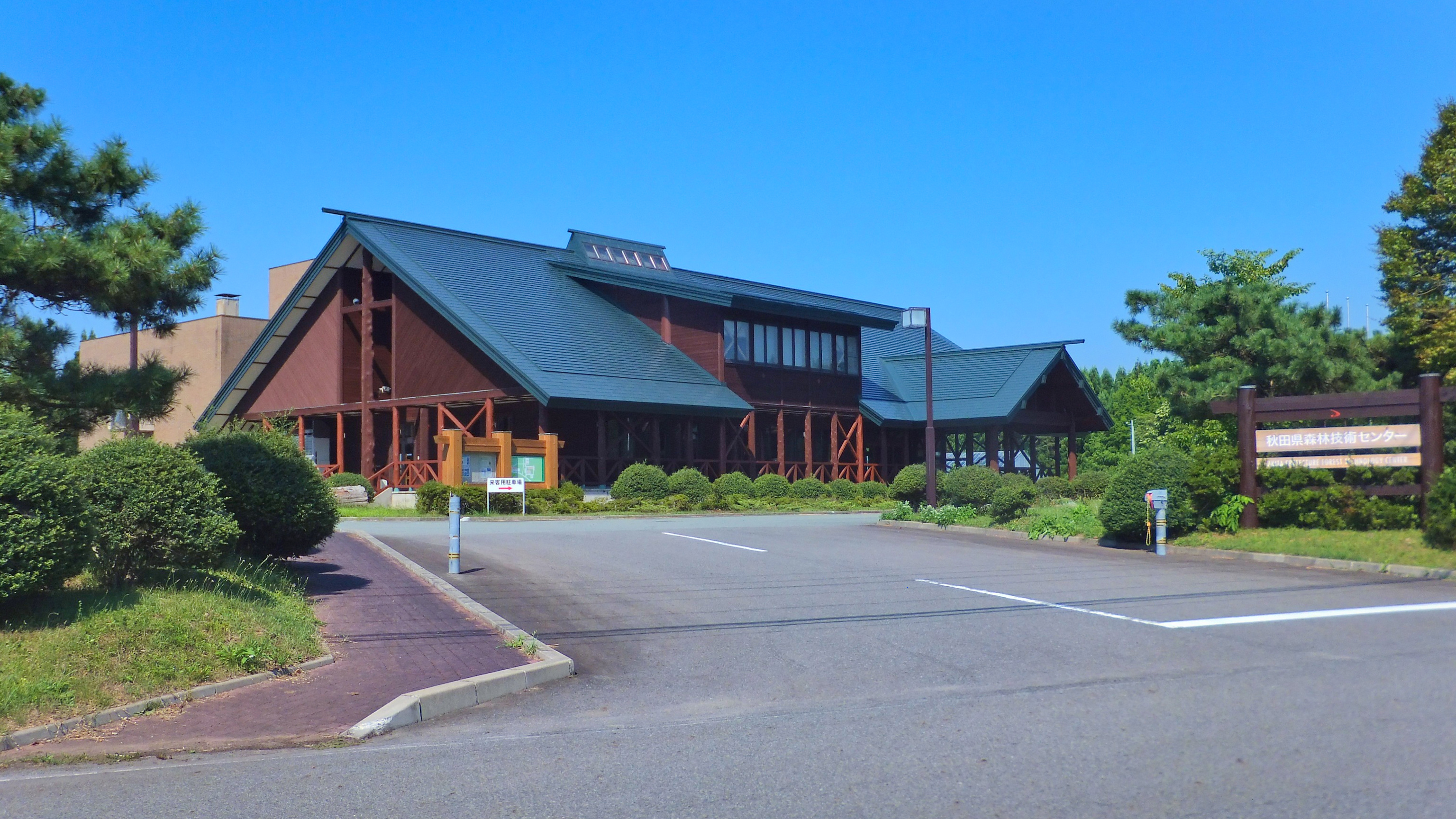
日本語: 秋田市河辺戸島にある秋田県森林技術センター。秋田県立中央公園(秋田市雄和)に隣接する。 |
Date | |
Source | Own work |
Author | 掬茶 |
Licensing
[edit]I, the copyright holder of this work, hereby publish it under the following license:
This file is licensed under the Creative Commons Attribution-Share Alike 3.0 Unported license.
- You are free:
- to share – to copy, distribute and transmit the work
- to remix – to adapt the work
- Under the following conditions:
- attribution – You must give appropriate credit, provide a link to the license, and indicate if changes were made. You may do so in any reasonable manner, but not in any way that suggests the licensor endorses you or your use.
- share alike – If you remix, transform, or build upon the material, you must distribute your contributions under the same or compatible license as the original.
File history
Click on a date/time to view the file as it appeared at that time.
Date/Time | Thumbnail | Dimensions | User | Comment | |
---|---|---|---|---|---|
current | 10:24, 29 April 2023 | 3,072 × 1,728 (1.97 MB) | 掬茶 (talk | contribs) | correct image | |
08:17, 24 August 2012 | 3,072 × 2,304 (1.88 MB) | 掬茶 (talk | contribs) | User created page with UploadWizard |
You cannot overwrite this file.
File usage on Commons
There are no pages that use this file.
File usage on other wikis
The following other wikis use this file:
- Usage on ja.wikipedia.org
Metadata
This file contains additional information such as Exif metadata which may have been added by the digital camera, scanner, or software program used to create or digitize it. If the file has been modified from its original state, some details such as the timestamp may not fully reflect those of the original file. The timestamp is only as accurate as the clock in the camera, and it may be completely wrong.
Camera manufacturer | FUJIFILM |
---|---|
Camera model | FinePix F550EXR |
Exposure time | 1/320 sec (0.003125) |
F-number | f/8 |
ISO speed rating | 100 |
Date and time of data generation | 13:59, 22 August 2012 |
Lens focal length | 6.9 mm |
Latitude | 39° 37′ 27.08″ N |
Longitude | 140° 12′ 26.32″ E |
Altitude | 99.5 meters above sea level |
Orientation | Normal |
Horizontal resolution | 300 dpi |
Vertical resolution | 300 dpi |
Software used | Polarr Photo Editor |
File change date and time | 13:59, 22 August 2012 |
Y and C positioning | Co-sited |
Exposure Program | Landscape mode (for landscape photos with the background in focus) |
Exif version | 2.31 |
Date and time of digitizing | 13:59, 22 August 2012 |
Meaning of each component |
|
Image compression mode | 2 |
APEX shutter speed | 8.35 |
APEX aperture | 6 |
APEX brightness | 8.94 |
APEX exposure bias | −0.33 |
Maximum land aperture | 3.6 APEX (f/3.48) |
Metering mode | Pattern |
Light source | Unknown |
Flash | Flash did not fire, compulsory flash suppression |
Supported Flashpix version | 1 |
Color space | sRGB |
Focal plane X resolution | 7,166 |
Focal plane Y resolution | 7,166 |
Focal plane resolution unit | 3 |
Sensing method | One-chip color area sensor |
File source | Digital still camera |
Scene type | A directly photographed image |
Custom image processing | Normal process |
Exposure mode | Auto exposure |
White balance | Auto white balance |
Scene capture type | Landscape |
Sharpness | Normal |
Subject distance range | Unknown |
GPS time (atomic clock) | 04:52 |
Satellites used for measurement | 06 |
Receiver status | Measurement in progress |
Measurement mode | 3-dimensional measurement |
Measurement precision | Poor (5.2) |
Speed unit | Kilometers per hour |
Speed of GPS receiver | 9.83 |
Geodetic survey data used | WGS-84 |
GPS date | 22 August 2012 |
GPS tag version | 2.3.0.0 |