File:Alaska patterned ground 1973.jpg
跳至導覽
跳至搜尋
預覽大小:800 × 532 像素。 其他解析度:320 × 213 像素 | 640 × 425 像素 | 1,024 × 681 像素 | 1,280 × 851 像素 | 2,907 × 1,932 像素。
原始檔案 (2,907 × 1,932 像素,檔案大小:1.35 MB,MIME 類型:image/jpeg)
說明
說明
添加單行說明來描述出檔案所代表的內容
| 這是一張修飾過的圖片,即本圖片是用軟體修改過後的版本。原版圖片來源:PATTERNED GROUND SHOWS ICE POLYGONS (LATTICE OUTLINES) AND TYPICAL SUMMER ARCTIC TUNDRA. PATTERNED GROUND, ICE... - NARA - 550392.jpg。
|
_AND_TYPICAL_SUMMER_ARCTIC_TUNDRA._PATTERNED_GROUND,_ICE..._-_NARA_-_550392.jpg)
摘要
[編輯]
| 描述 |
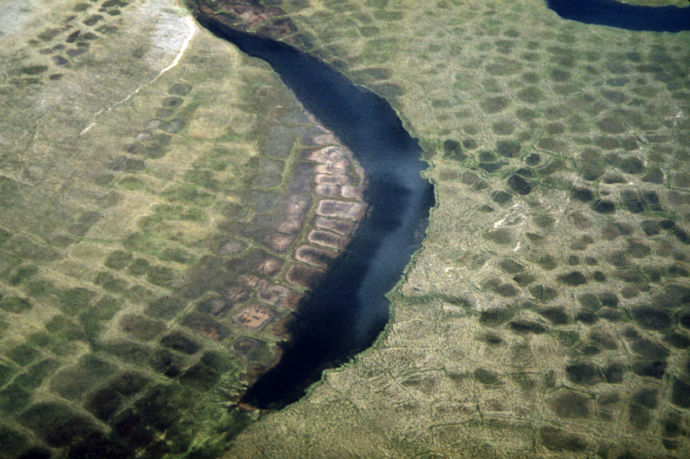
English: Patterned Ground Shows Ice Polygons (Lattice Outlines) and Typical Summer Arctic Tundra. Patterned Ground, Ice Polygons, and Permafrost Are Found Along the Entire Route of the Line, Although They Are Relatively Rare South of the Yukon River. Alaska (US state). Environmental Protection Agency, Project DOCUMERICA. |
|||
| 日期 | ||||
| 來源 |
Patterned Ground Shows Ice Polygons (Lattice Outlines) and Typical Summer Arctic Tundra...08/1973 (https://arcweb.archives.gov/arc/action/ExternalIdSearch?id=550392 Persistent URL).
|
|||
| 作者 | Dennis Cowals (1945-) | |||
| 其他版本 |
For information about ordering reproductions of photographs held by the Still Picture Unit, visit: www.archives.gov/research/order/still-pictures.html Reproductions may be ordered via an independent vendor. NARA maintains a list of vendors at www.archives.gov/research/order/vendors-photos-maps-dc.html Buy copies of selected National Archives photographs and documents at the National Archives Print Shop online: http://gallery.pictopia.com/natf/photo/ |
授權條款
[編輯]
This image was taken from Flickr's The Commons. The uploading organization may have various reasons for determining that no known copyright restrictions exist, such as:
More information can be found at https://flickr.com/commons/usage/. Please add additional copyright tags to this image if more specific information about copyright status can be determined. See Commons:Licensing for more information. |
| This image, originally posted to Flickr, was reviewed on 4 May 2011 by the administrator or reviewer Logan, who confirmed that it was available on Flickr under the stated license on that date. |
檔案歷史
點選日期/時間以檢視該時間的檔案版本。
| 日期/時間 | 縮圖 | 尺寸 | 用戶 | 備註 | |
|---|---|---|---|---|---|
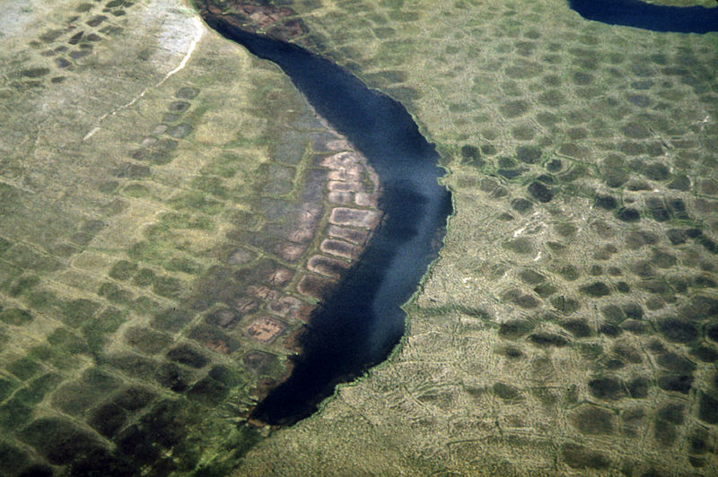
| 目前 | 2011年6月28日 (二) 22:20 | | 2,907 × 1,932(1.35 MB) | Hohum(對話 | 貢獻) | Cropped, colour correction (compared to other Arctic tundra polygons) |
| 2011年5月4日 (三) 00:31 |  | 3,000 × 2,018(1.06 MB) | Logan(對話 | 貢獻) | {{Information |Description='''Original Caption:''' Patterned Ground Shows Ice Polygons (Lattice Outlines) and Typical Summer Arctic Tundra. Patterned Ground, Ice Polygons, and Permafrost Are Found Along the Entire Route of the Line, Although They Are Rela |
無法覆蓋此檔案。
檔案用途
全域檔案使用狀況
以下其他 wiki 使用了這個檔案:
- bh.wikipedia.org 的使用狀況
- ca.wikipedia.org 的使用狀況
- cs.wikipedia.org 的使用狀況
- en.wikipedia.org 的使用狀況
- fr.wikipedia.org 的使用狀況
- ja.wikipedia.org 的使用狀況
- kw.wikipedia.org 的使用狀況
- pl.wikipedia.org 的使用狀況
- zh.wikipedia.org 的使用狀況