File:Allemagne legislative (FL147398490 2563493).jpg
Jump to navigation
Jump to search

Size of this preview: 800 × 593 pixels. Other resolutions: 320 × 237 pixels | 640 × 474 pixels | 1,024 × 759 pixels | 1,280 × 948 pixels | 2,560 × 1,897 pixels | 4,946 × 3,665 pixels.
Original file (4,946 × 3,665 pixels, file size: 23.47 MB, MIME type: image/jpeg)
Captions
Captions
Add a one-line explanation of what this file represents
Summary
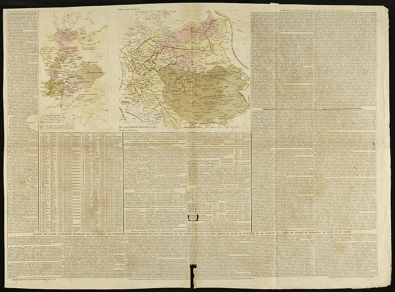
[edit]| Allemagne legislative
( |
||||||||||||||||||||||||
|---|---|---|---|---|---|---|---|---|---|---|---|---|---|---|---|---|---|---|---|---|---|---|---|---|
| Title |
Allemagne legislative |
|||||||||||||||||||||||
| Publisher |
Paul Renuard |
|||||||||||||||||||||||
| Description |
Allemagne legislative. |
|||||||||||||||||||||||
| Language | French | |||||||||||||||||||||||
| Publication date | 1812 | |||||||||||||||||||||||
| Medium | 2 maps in text : col ; | |||||||||||||||||||||||
| Dimensions | 21 × 12 cm (8.2 × 4.7 in), 21 × 24 cm (8.2 × 9.4 in) on page 51x68 cm. | |||||||||||||||||||||||
| Collection |
|
|||||||||||||||||||||||
| Current location |
|
|||||||||||||||||||||||
| Place of publication | unknown | |||||||||||||||||||||||
| search Merhav catalog | unknown | |||||||||||||||||||||||
| Notes | From: [Atlas Historique, Généalogique, Chronologique, Et Géographique] / [Par A. LeSage] ; 26 | |||||||||||||||||||||||
| IE PID | IE147398487 | |||||||||||||||||||||||
| Rosetta filename | FL147398490 | |||||||||||||||||||||||
| NNL item ID (P3959) | 990025634930205171 | |||||||||||||||||||||||
| search Merhav catalog | French | |||||||||||||||||||||||
| search Merhav catalog | AllemagnePaul Renuard | |||||||||||||||||||||||
| Source/Photographer |
|
|||||||||||||||||||||||
| Other versions | ||||||||||||||||||||||||
| Jpg / Tif version |
|
|||||||||||||||||||||||

.jpg)

.jpg&action=edit§ion=1)
Licensing
[edit].jpg&action=edit§ion=2)
The copyright situation of this work is theoretically uncertain, because in the country of origin copyright lasts 70 years after the death of the author, and the date of the author's death is unknown. However, the date of creation of the work was over 120 years ago, and it is thus a reasonable assumption that the copyright has expired (see here for the community discussion). Do not use this template if the date of death of the author is known.
| |
| This file has been identified as being free of known restrictions under copyright law, including all related and neighboring rights. | |
File history
Click on a date/time to view the file as it appeared at that time.
| Date/Time | Thumbnail | Dimensions | User | Comment | |
|---|---|---|---|---|---|
| current | 14:11, 8 August 2023 | | 4,946 × 3,665 (23.47 MB) | Geagea (talk | contribs) | pattypan 22.03 |
You cannot overwrite this file.
File usage on Commons
The following 2 pages use this file:
.jpg&oldid=838883646)