File:Almourol Castle (152955943).jpeg
Jump to navigation
Jump to search
Size of this preview: 800 × 534 pixels. Other resolutions: 320 × 214 pixels | 640 × 428 pixels | 1,024 × 684 pixels | 1,280 × 855 pixels | 2,048 × 1,368 pixels.
Original file (2,048 × 1,368 pixels, file size: 1.69 MB, MIME type: image/jpeg)
Captions
Captions
Add a one-line explanation of what this file represents
Summary[edit]
.jpeg&action=edit§ion=1)
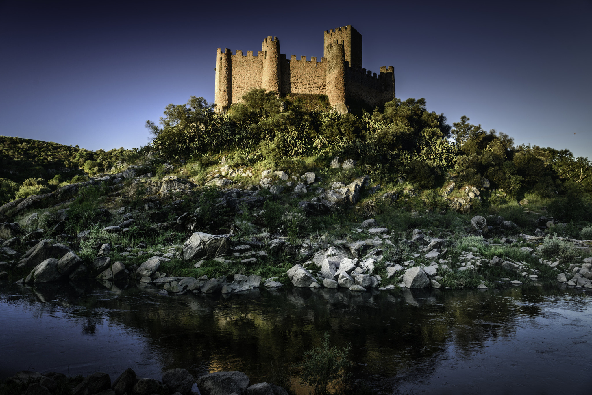
| Almourol Castle | |
|---|---|
| Photographer | |
| Title |
Almourol Castle |
| Description |
500px provided description: Almourol Castle [#landscape ,#morning ,#river ,#island ,#old ,#outdoor ,#colour ,#castle ,#blue sky ,#horizontal ,#no people ,#ribatejo ,#almourol ,#tagus ,#vila nova da barquinha] |
| Date | 2 May 2016, 10:00:28 (UTC) |
| Source | Imported from 500px (archived version) by the Archive Team. (detail page) |
| Permission (Reusing this file) |
This file is licensed under the Creative Commons Attribution 3.0 Unported license.
|
| Camera location | | View this and other nearby images on: OpenStreetMap |
|---|
.jpeg¶ms=039.462718_N_-008.383238_E_globe:Earth_type:camera__&language=en)
File history
Click on a date/time to view the file as it appeared at that time.
| Date/Time | Thumbnail | Dimensions | User | Comment | |
|---|---|---|---|---|---|
| current | 21:32, 20 December 2023 | | 2,048 × 1,368 (1.69 MB) | Ajpvalente (talk | contribs) | Removed the watermark |
| 21:42, 4 September 2018 |  | 2,048 × 1,368 (861 KB) | Edelseider (talk | contribs) | Photo Almourol Castle imported from 500px with import-500px |
You cannot overwrite this file.
File usage on Commons
The following page uses this file:
.jpeg)
.jpeg&oldid=832708727)