File:Amanecer en la Bahía de Algeciras.jpg
Jump to navigation
Jump to search

Size of this preview: 800 × 450 pixels. Other resolutions: 320 × 180 pixels | 640 × 360 pixels | 1,024 × 576 pixels | 1,600 × 900 pixels.
Original file (1,600 × 900 pixels, file size: 56 KB, MIME type: image/jpeg)
Captions
Captions
Add a one-line explanation of what this file represents
Summary
[edit]
| Description |
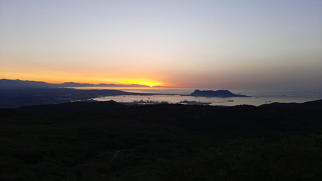
Español: Situada en Andalucía, en la orilla norte del Estrecho de Gibraltar, en su costa oeste aparece, de norte a sur, tres lugares protegidos, incluidos en la Red Natura 2000, amenazados por la creciente urbanización de la comarca pero sobre todo por el desarrollo desmesurado de las instalaciones del puerto de Algeciras.
|
||
| Date | |||
| Source | Own work | ||
| Author | Antonio Benítez Gallardo |
| Camera location | | View this and other nearby images on: OpenStreetMap |
|---|
Licensing
[edit]
I, the copyright holder of this work, hereby publish it under the following license:
This file is licensed under the Creative Commons Attribution-Share Alike 4.0 International license.
- You are free:
- to share – to copy, distribute and transmit the work
- to remix – to adapt the work
- Under the following conditions:
- attribution – You must give appropriate credit, provide a link to the license, and indicate if changes were made. You may do so in any reasonable manner, but not in any way that suggests the licensor endorses you or your use.
- share alike – If you remix, transform, or build upon the material, you must distribute your contributions under the same or compatible license as the original.
This image was uploaded as part of Wiki Loves Earth 2021.
|
 |
File history
Click on a date/time to view the file as it appeared at that time.
| Date/Time | Thumbnail | Dimensions | User | Comment | |
|---|---|---|---|---|---|
| current | 17:45, 17 May 2021 | | 1,600 × 900 (56 KB) | Antonio Benítez Gallardo (talk | contribs) | Uploaded own work with UploadWizard |
You cannot overwrite this file.
File usage on Commons
There are no pages that use this file.