File:American Samoa Districts.png
跳转到导航
跳转到搜索
本预览的尺寸:776 × 600像素。 其他分辨率:311 × 240像素 | 621 × 480像素 | 994 × 768像素 | 1,280 × 989像素 | 2,112 × 1,632像素。
原始文件 (2,112 × 1,632像素,文件大小:36 KB,MIME类型:image/png)
说明
说明
添加一行文字以描述该文件所表现的内容

|
此map图片可使用矢量图形重新创建为SVG文件。这具有很多好处;更多信息请参见共享资源:待清理媒体。如果存在此图片的SVG格式,请将其上传,然后将此模板替换为
{{vector version available|新图片名称}}。
建议您将SVG命名为“American Samoa Districts.svg”,这样在使用Vector version available(或Vva)模板时就不需要填写新图片名称参数。 |
摘要
[编辑]
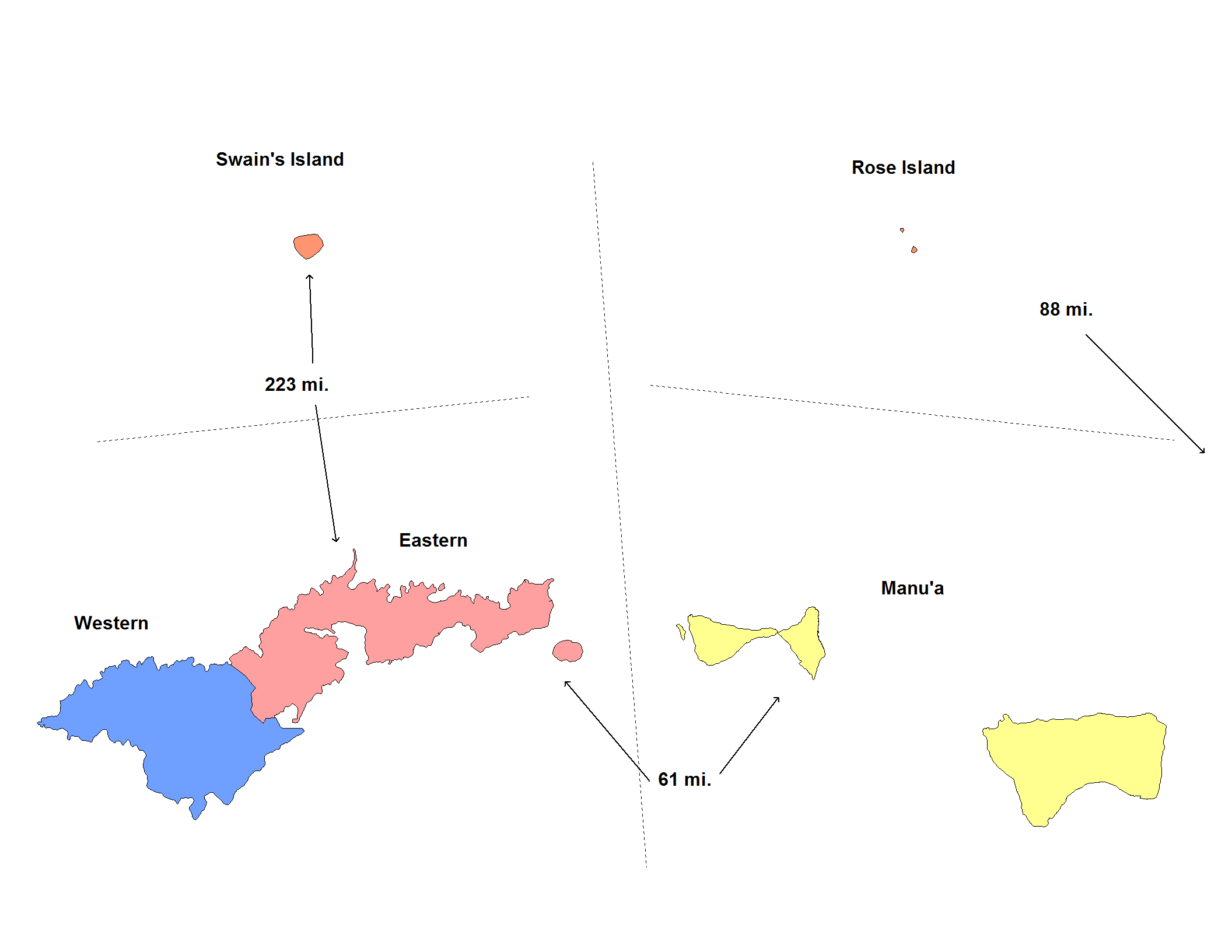
| 描述 | Map of the districts of American Samoa. Created by Rarelibra for public domain use. Created using MapInfo Professional v7.5 and various mapping resources. |
| 日期 | 2006年11月20日 (原始上传日期) |
| 来源 | No machine-readable source provided. Own work assumed (based on copyright claims). |
| 作者 | No machine-readable author provided. Electionworld assumed (based on copyright claims). |
许可协议
[编辑]
| 我,本作品著作权人,释出本作品至公有领域。这适用于全世界。 在一些国家这可能不合法;如果是这样的话,那么: 我无条件地授予任何人以任何目的使用本作品的权利,除非这些条件是法律规定所必需的。 |
文件历史
点击某个日期/时间查看对应时刻的文件。
| 日期/时间 | 缩略图 | 大小 | 用户 | 备注 | |
|---|---|---|---|---|---|
| 当前 | 2020年6月1日 (一) 05:14 | | 2,112 × 1,632(36 KB) | Heitordp(留言 | 贡献) | Reverted to version as of 17:42, 11 January 2008 (UTC) keep previous map, many articles refer to its colors and positions |
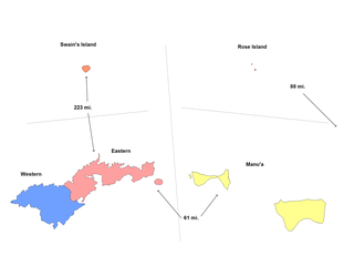
| 2020年6月1日 (一) 03:32 | 2,104 × 808(26 KB) | Heitordp(留言 | 贡献) | Removed excessive blank space, removed distances, improved shapes, moved islands to reflect real relative positions, adjusted colors, corrected atoll names, increased font size for legibility in infobox | ||
| 2008年1月11日 (五) 17:42 |  | 2,112 × 1,632(36 KB) | Rarelibra(留言 | 贡献) | update map | |
| 2006年11月20日 (一) 22:22 |  | 953 × 598(11 KB) | Electionworld(留言 | 贡献) | == Summary == Map of the districts of American Samoa. Created by Rarelibra for public domain use. Created using MapInfo Professional v7.5 and various mapping resources. == Licensing == {{PD-self}} Category:Maps of American Samoa |
您不可以覆盖此文件。
文件用途
全域文件用途
以下其他wiki使用此文件:
- de.wikipedia.org上的用途
- en.wikipedia.org上的用途
- eu.wikipedia.org上的用途
- fr.wikipedia.org上的用途
- fy.wikipedia.org上的用途
- he.wikipedia.org上的用途
- it.wikipedia.org上的用途
- ja.wikipedia.org上的用途
- ka.wikipedia.org上的用途
- nl.wikipedia.org上的用途
- os.wikipedia.org上的用途
- pt.wikipedia.org上的用途
- ru.wikipedia.org上的用途
- sm.wikipedia.org上的用途
- zh.wikipedia.org上的用途