File:Angarsk tram map 2022-04.svg
Jump to navigation
Jump to search

Size of this PNG preview of this SVG file: 600 × 600 pixels. Other resolutions: 240 × 240 pixels | 480 × 480 pixels | 768 × 768 pixels | 1,024 × 1,024 pixels | 2,048 × 2,048 pixels | 1,875 × 1,875 pixels.
Original file (SVG file, nominally 1,875 × 1,875 pixels, file size: 1,009 KB)
Captions
Captions
Add a one-line explanation of what this file represents
Summary
[edit]| Description |
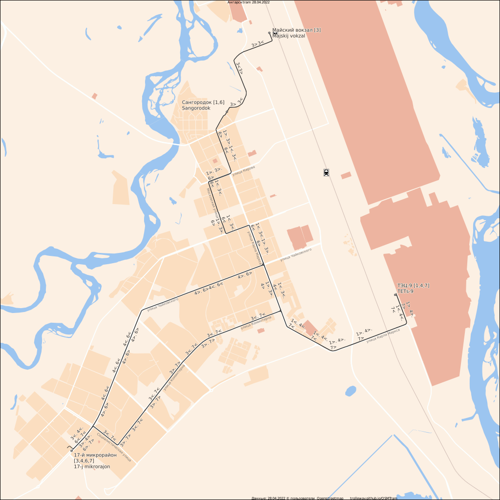
Русский: Карта Ангарского трамвая English: Map of Angarsk tram |
||||||||||||||||||||||||||
| Date | |||||||||||||||||||||||||||
| Source | Own work | ||||||||||||||||||||||||||
| Creator |
|
||||||||||||||||||||||||||
| Geotemporal data | |||||||||||||||||||||||||||
| Date depicted | after 1 January 2019 | ||||||||||||||||||||||||||
| Map location | Angarsk | ||||||||||||||||||||||||||
| Spatial reference system | EPSG:3857 | ||||||||||||||||||||||||||
| Heading |
 |
||||||||||||||||||||||||||
| Bounding box |
|
||||||||||||||||||||||||||
| Georeferencing | If inappropriate please set warp_status = skip to hide. | ||||||||||||||||||||||||||
.jpg)

Licensing
[edit]
| Description |
This map was created from OpenStreetMap project data, collected by the community. This map may be incomplete, and may contain errors. Don't rely solely on it for navigation. |
|||
| Date | (see file history) | |||
| Source | openstreetmap.org | |||
| Creator |
OpenStreetMap contributors |
|||
| Permission (Reusing this file) |
OpenStreetMap data is available under the Open Database License (details). Map tiles are licensed under the Creative Commons Attribution-ShareAlike 2.0 license (CC-BY-SA 2.0).
This file is licensed under the Creative Commons Attribution-Share Alike 2.0 Generic license.
|
|||
| Georeferencing | If inappropriate please set warp_status = skip to hide. |
File history
Click on a date/time to view the file as it appeared at that time.
| Date/Time | Thumbnail | Dimensions | User | Comment | |
|---|---|---|---|---|---|
| current | 14:42, 28 April 2022 | | 1,875 × 1,875 (1,009 KB) | Svetlov Artem (talk | contribs) | re-render, add street names, train lines, terminal names romanisation |
| 16:41, 25 April 2022 |  | 1,875 × 1,875 (750 KB) | Svetlov Artem (talk | contribs) | re-render, add railway station | |
| 10:57, 15 April 2022 |  | 1,875 × 1,875 (740 KB) | Svetlov Artem (talk | contribs) | {{Map |description={{ru|1=Карта Ангарского трамвая}}{{en|1=Map of Angarsk tram}} |date=2022-04-15 |map_date={{other date|after|2019-01-01}} |location=Angarsk |projection=EPSG:3857 |heading=N |latitude=52.54 |longitude=103.89 |source={{own}} |author={{Creator:Artem Svetlov}} |permission= |other versions= }} =={{int:license-header}}== {{OpenStreetMap}} Category:Tram transport in Angarsk Category:Maps by OSMTram |
You cannot overwrite this file.
File usage on Commons
The following page uses this file:
File usage on other wikis
The following other wikis use this file:
- Usage on de.wikipedia.org
- Usage on de.wikivoyage.org
- Usage on eo.wikipedia.org
- Usage on ja.wikipedia.org
- Usage on ru.wikipedia.org
- Usage on uk.wikipedia.org
- Usage on www.wikidata.org