File:Anguilla election results, 2010.svg
Jump to navigation
Jump to search

Size of this PNG preview of this SVG file: 800 × 368 pixels. Other resolutions: 320 × 147 pixels | 640 × 294 pixels | 1,024 × 470 pixels | 1,280 × 588 pixels | 2,560 × 1,176 pixels | 7,920 × 3,639 pixels.
Original file (SVG file, nominally 7,920 × 3,639 pixels, file size: 810 KB)
Captions
Captions
Add a one-line explanation of what this file represents
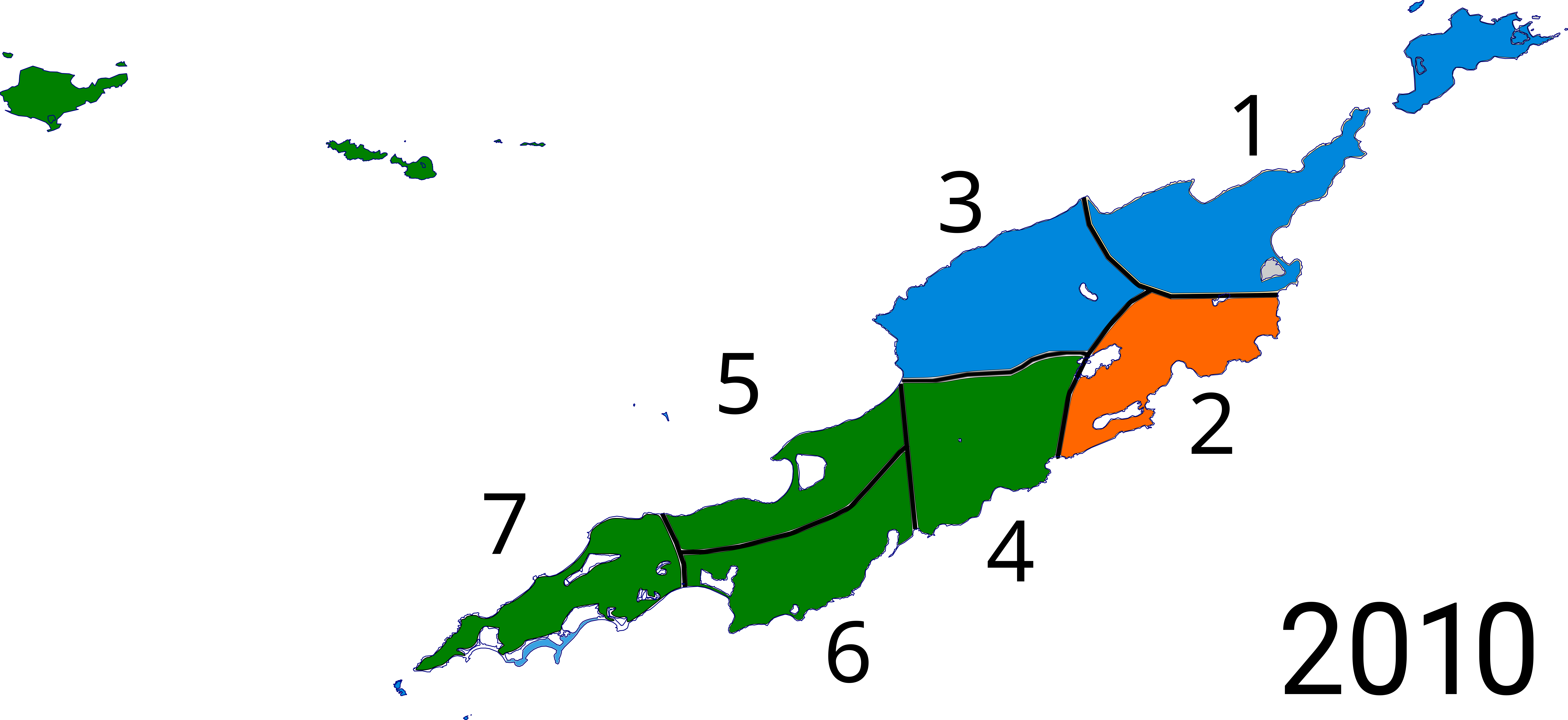
| Description | Results of the Anguillian general election, 2010 | |||
| Date | ||||
| Source | Anguilla blank.svg, boundaries [1] | |||
| Author | RaviC, Hogweard | |||
| Permission (Reusing this file) |
This file is licensed under the Creative Commons Attribution-Share Alike 2.0 Generic license.
|
File history
Click on a date/time to view the file as it appeared at that time.
| Date/Time | Thumbnail | Dimensions | User | Comment | |
|---|---|---|---|---|---|
| current | 09:33, 18 June 2017 | | 7,920 × 3,639 (810 KB) | RaviC (talk | contribs) | {{Information |Description=Results of the Anguillian general election, 2010 |Source=Anguilla blank.svg, boundaries [http://www.caribbeanelections.com/ai/default.asp] |Date=2017-06-18 |Author={{u|RaviC}}, {{u|Hogweard}} |Per... |
You cannot overwrite this file.
File usage on Commons
The following page uses this file:
File usage on other wikis
The following other wikis use this file:
- Usage on en.wikipedia.org