File:Annobon map (enhanced).jpg
Jump to navigation
Jump to search
Size of this preview: 628 × 600 pixels. Other resolutions: 251 × 240 pixels | 503 × 480 pixels.
Original file (800 × 764 pixels, file size: 77 KB, MIME type: image/jpeg)
Captions
Captions
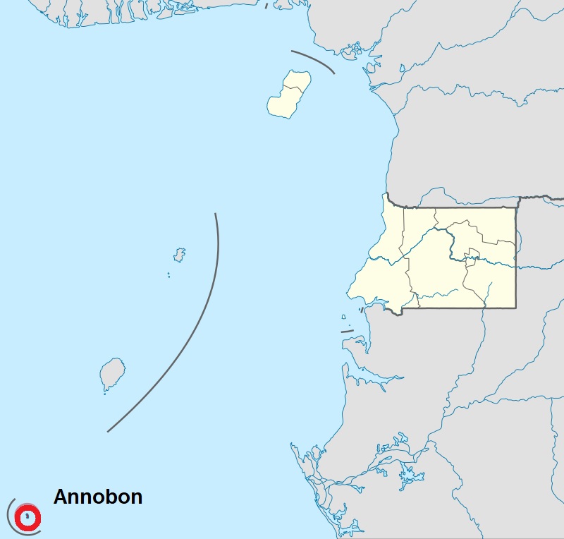
Location of Annabon, name added and circle enhanced
Summary
[edit].jpg&action=edit§ion=1)
| Description |
English: Location of Annabon Island in Equatorial Guinea, position graphically enhanced |
| Date | |
| Source |
https://en.wikipedia.org/wiki/File:Annob%C3%B3n_in_Equatorial_Guinea_2020.svg I have enhanced the positon of the small Island |
| Author | User:NordNordWest |
Licensing
[edit].jpg&action=edit§ion=2)
This file is licensed under the Creative Commons Attribution 3.0 Unported license.
- You are free:
- to share – to copy, distribute and transmit the work
- to remix – to adapt the work
- Under the following conditions:
- attribution – You must give appropriate credit, provide a link to the license, and indicate if changes were made. You may do so in any reasonable manner, but not in any way that suggests the licensor endorses you or your use.
File history
Click on a date/time to view the file as it appeared at that time.
| Date/Time | Thumbnail | Dimensions | User | Comment | |
|---|---|---|---|---|---|
| current | 07:30, 20 May 2023 | | 800 × 764 (77 KB) | Kipala (talk | contribs) | Uploaded a work by User:NordNordWest from https://en.wikipedia.org/wiki/File:Annob%C3%B3n_in_Equatorial_Guinea_2020.svg I have enhanced the positon of the small Island with UploadWizard |
You cannot overwrite this file.
File usage on Commons
There are no pages that use this file.
File usage on other wikis
The following other wikis use this file:
- Usage on sw.wikipedia.org
.jpg&oldid=796068477)