File:Annular Eclipse in Valley of the Gods.jpg

Original file (2,000 × 1,506 pixels, file size: 3.04 MB, MIME type: image/jpeg)
Captions
Captions
Summary
[edit]
| Description |
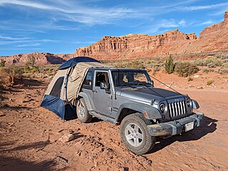
English: The Valley of the Gods is a scenic sandstone valley near Mexican Hat in San Juan County, southeastern Utah, United States. Formerly part of Bears Ears National Monument, Valley of the Gods is located north of Monument Valley across the San Juan River and has rock formations similar to those in Monument Valley with tall, reddish brown mesas, buttes, towers and mushroom rocks—remnants of an ancient landscape.
The Valley of the Gods may be toured via a 17-mile (27 km) gravel road (San Juan County Road 242) that winds around the formations. The road is rather steep and bumpy in parts but is passable by non-four-wheel drive vehicles in dry weather. The western end joins Utah State Route 261 shortly before its 1,200-foot (370 m) ascent up Cedar Mesa at Moki Dugway, while the eastern end starts nine miles (14 km) from the town of Mexican Hat along U.S. Route 163 and heads north, initially crossing flat, open land and following the course of Lime Creek, a seasonal wash, before turning west toward the buttes and pinnacles. In addition to the gravel road, the area is also crisscrossed by off-road dirt trails. The valley has been used as the backdrop for western movies, commercials and television shows including two episodes of the BBC science fiction show Doctor Who: "The Impossible Astronaut" and "Day of the Moon", the second of which includes an explicit on-screen reference to the filming location. The 1984-1987 CBS TV show Airwolf is often mistakenly identified as being filmed in Valley of the Gods due to an in-episode mention but was filmed in Monument Valley The solar eclipse of October 14, 2023 was an annular solar eclipse. A solar eclipse occurs when the Moon passes between Earth and the Sun, thereby totally or partly obscuring the image of the Sun for a viewer on Earth. |
| Date | |
| Source | https://www.flickr.com/photos/21874566@N07/53319062523/ |
| Author | RuggyBearLA |
| Camera location | | View this and other nearby images on: OpenStreetMap |
|---|
Licensing
[edit]
- You are free:
- to share – to copy, distribute and transmit the work
- to remix – to adapt the work
- Under the following conditions:
- attribution – You must give appropriate credit, provide a link to the license, and indicate if changes were made. You may do so in any reasonable manner, but not in any way that suggests the licensor endorses you or your use.
| This image was originally posted to Flickr by RuggyBearLA at https://flickr.com/photos/21874566@N07/53319062523. It was reviewed on 11 January 2024 by FlickreviewR 2 and was confirmed to be licensed under the terms of the cc-by-2.0. |
File history
Click on a date/time to view the file as it appeared at that time.
| Date/Time | Thumbnail | Dimensions | User | Comment | |
|---|---|---|---|---|---|
| current | 20:14, 11 January 2024 | | 2,000 × 1,506 (3.04 MB) | Ser Amantio di Nicolao (talk | contribs) | Uploaded a work by RuggyBearLA from https://www.flickr.com/photos/21874566@N07/53319062523/ with UploadWizard |
You cannot overwrite this file.
File usage on Commons
There are no pages that use this file.