File:Antarctica location map hr.svg
Jump to navigation
Jump to search

Size of this PNG preview of this SVG file: 600 × 599 pixels. Other resolutions: 240 × 240 pixels | 481 × 480 pixels | 769 × 768 pixels | 1,025 × 1,024 pixels | 2,051 × 2,048 pixels | 742 × 741 pixels.
Original file (SVG file, nominally 742 × 741 pixels, file size: 241 KB)
Captions
Captions
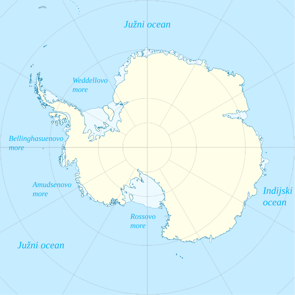
Antarctica map, names of surrounding seas in croatian
Summary[edit]
| Description |
English: Location map Antarctica, Azimuthal equidistant projection with croatian names of surrounding seas
Longitude of central meridian: 0° Latitude of projection origin: -90° Tangent latitude at the map boundaries: -60°; geographic limits of the map: -135°,-47.57359° to 45°,-47.5735 |
| Date | |
| Source | File:Antarctica_location_map.svg |
| Author | Alexrk2 |
Licensing[edit]
This file is licensed under the Creative Commons Attribution-Share Alike 3.0 Unported license.
- You are free:
- to share – to copy, distribute and transmit the work
- to remix – to adapt the work
- Under the following conditions:
- attribution – You must give appropriate credit, provide a link to the license, and indicate if changes were made. You may do so in any reasonable manner, but not in any way that suggests the licensor endorses you or your use.
- share alike – If you remix, transform, or build upon the material, you must distribute your contributions under the same or compatible license as the original.
File history
Click on a date/time to view the file as it appeared at that time.
| Date/Time | Thumbnail | Dimensions | User | Comment | |
|---|---|---|---|---|---|
| current | 20:26, 16 August 2023 | | 742 × 741 (241 KB) | The Yennefer (talk | contribs) | Uploaded a work by Alexrk2 from https://commons.wikimedia.org/wiki/File:Antarctica_location_map.svg with UploadWizard |
You cannot overwrite this file.
File usage on Commons
The following 2 pages use this file:
File usage on other wikis
The following other wikis use this file:
- Usage on id.wikipedia.org