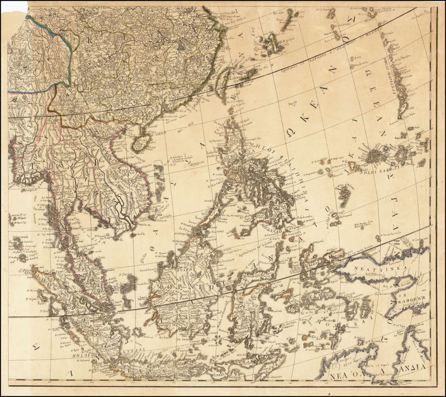
File:Anthimos Gazis East Asia map Vienna 1802.jpg
Jump to navigation
Jump to search
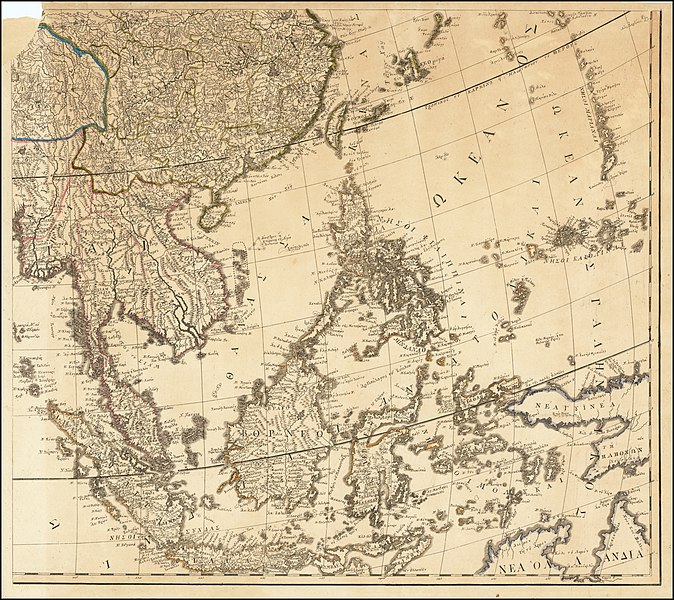
Size of this preview: 674 × 600 pixels. Other resolutions: 270 × 240 pixels | 540 × 480 pixels | 863 × 768 pixels | 1,151 × 1,024 pixels | 1,760 × 1,566 pixels.
Original file (1,760 × 1,566 pixels, file size: 2.81 MB, MIME type: image/jpeg)
Captions
Captions
Anthimos Gazis, Greek Map of East Asia, Vienna c. 1802.
Summary[edit]
| Description |
English: Greek Map of East Asia, 56 cm x 51 cm. Printed in Vienna.
Ελληνικά: Ελληνικός χάρτης της Άπω Ανατολής, 56 cm x 51 cm. Τυπώθηκε στην Βιέννη. |
| Date | circa 1802 // περί το 1802 |
| Source | raremaps.com (with minor corrections) // raremaps.com (με μικρές διορθώσεις) |
| Author | Anthimos Gazis (1764-1828) // Άνθιμος Γαζής (1764-1828) |
Licensing[edit]
|
This work is in the public domain in its country of origin and other countries and areas where the copyright term is the author's life plus 70 years or fewer. This work is in the public domain in the United States because it was published (or registered with the U.S. Copyright Office) before January 1, 1929. | |
| This file has been identified as being free of known restrictions under copyright law, including all related and neighboring rights. | |
File history
Click on a date/time to view the file as it appeared at that time.
| Date/Time | Thumbnail | Dimensions | User | Comment | |
|---|---|---|---|---|---|
| current | 02:59, 27 February 2022 | | 1,760 × 1,566 (2.81 MB) | Flashdart2 (talk | contribs) | Uploaded a work by Anthimos Gazis (1764-1828) // Άνθιμος Γαζής (1764-1828) from raremaps.com (with minor corrections) // raremaps.com (με μικρές διορθώσεις) with UploadWizard |
You cannot overwrite this file.
File usage on Commons
The following page uses this file: