File:Antigone District (191768335).jpeg
Jump to navigation
Jump to search

Size of this preview: 800 × 571 pixels. Other resolutions: 320 × 229 pixels | 640 × 457 pixels | 1,024 × 732 pixels | 1,280 × 914 pixels | 2,048 × 1,463 pixels.
Original file (2,048 × 1,463 pixels, file size: 541 KB, MIME type: image/jpeg)
Captions
Captions
Add a one-line explanation of what this file represents
Summary
[edit].jpeg&action=edit§ion=1)
| Antigone District | |
|---|---|
| Photographer | |
| Title |
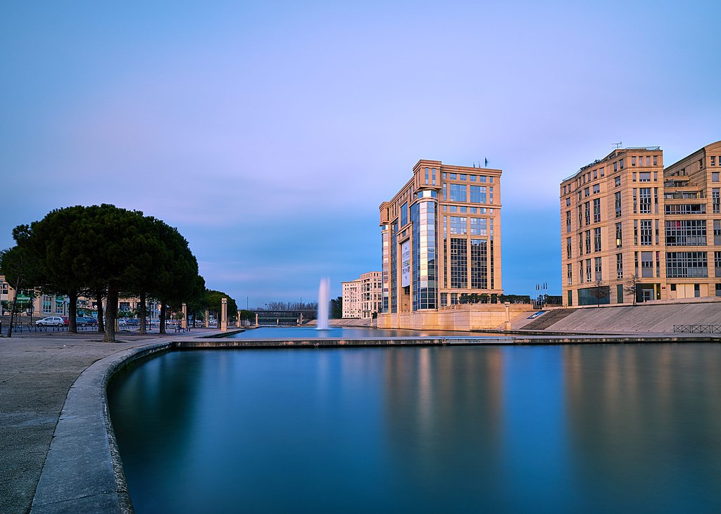
Antigone District |
| Description |
500px provided description: Antigone District [#city ,#street ,#europe ,#architecture ,#building ,#france ,#montpellier ,#languedoc-roussillon ,#antigone] |
| Date | 2 January 2017, 21:07:38 (UTC) |
| Source | Imported from 500px (archived version) by the Archive Team. (detail page) |
| Permission (Reusing this file) |
This file is licensed under the Creative Commons Attribution 3.0 Unported license.
|
| Camera location | | View this and other nearby images on: OpenStreetMap |
|---|
.jpeg¶ms=043.606787_N_0003.896912_E_globe:Earth_type:camera__&language=en)
File history
Click on a date/time to view the file as it appeared at that time.
| Date/Time | Thumbnail | Dimensions | User | Comment | |
|---|---|---|---|---|---|
| current | 17:14, 16 August 2018 | | 2,048 × 1,463 (541 KB) | Chicocvenancio (talk | contribs) | Photo Antigone District imported from 500px with import-500px |
You cannot overwrite this file.
File usage on Commons
The following page uses this file:
.jpeg)
File usage on other wikis
The following other wikis use this file:
- Usage on en.wikipedia.org
- Usage on fr.wikipedia.org
.jpeg&oldid=799153615)