File:Aqueduct bridge, Sakai river between Yamato and Machida - Apr 30, 2011.jpg
Jump to navigation
Jump to search
Size of this preview: 800 × 600 pixels. Other resolutions: 320 × 240 pixels | 640 × 480 pixels | 1,024 × 768 pixels.
Original file (1,024 × 768 pixels, file size: 192 KB, MIME type: image/jpeg)
Captions
Captions
Add a one-line explanation of what this file represents
Summary[edit]
| Description |
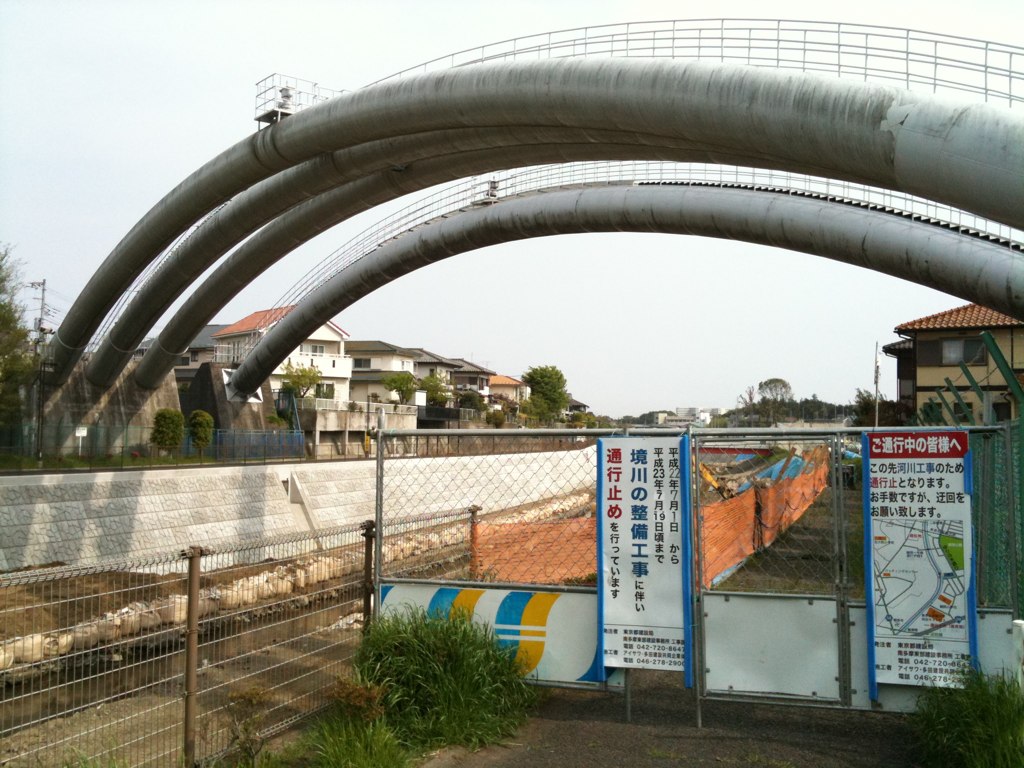
日本語: 境川に架かる水管橋。工事をしている右側が神奈川県大和市、左側が東京都町田市。
English: Aqueduct bridge, Sakai river between Yamato, Kanagawa prefecture and Machida, Tokyo in Japan. |
| Date | |
| Source | https://www.flickr.com/photos/hm7/5671832417/ |
| Author | se7en |
| Camera location | | View this and other nearby images on: OpenStreetMap |
|---|
Licensing[edit]
This file is licensed under the Creative Commons Attribution 2.0 Generic license.
- You are free:
- to share – to copy, distribute and transmit the work
- to remix – to adapt the work
- Under the following conditions:
- attribution – You must give appropriate credit, provide a link to the license, and indicate if changes were made. You may do so in any reasonable manner, but not in any way that suggests the licensor endorses you or your use.
| This image was originally posted to Flickr by hm7hm7 at https://flickr.com/photos/26473912@N04/5671832417. It was reviewed on 25 June 2023 by FlickreviewR 2 and was confirmed to be licensed under the terms of the cc-by-2.0. |
File history
Click on a date/time to view the file as it appeared at that time.
| Date/Time | Thumbnail | Dimensions | User | Comment | |
|---|---|---|---|---|---|
| current | 17:48, 25 June 2023 | | 1,024 × 768 (192 KB) | Krorokeroro (talk | contribs) | Uploaded a work by se7en from https://www.flickr.com/photos/hm7/5671832417/ with UploadWizard |
You cannot overwrite this file.
File usage on Commons
There are no pages that use this file.