File:Arkhyz, Karachay-Cherkessia, Taulu, Trees 2.jpg
Jump to navigation
Jump to search
Size of this preview: 800 × 532 pixels. Other resolutions: 320 × 213 pixels | 640 × 425 pixels | 1,024 × 680 pixels | 1,280 × 851 pixels | 2,560 × 1,701 pixels | 4,912 × 3,264 pixels.
Original file (4,912 × 3,264 pixels, file size: 9.67 MB, MIME type: image/jpeg)
Captions
Captions
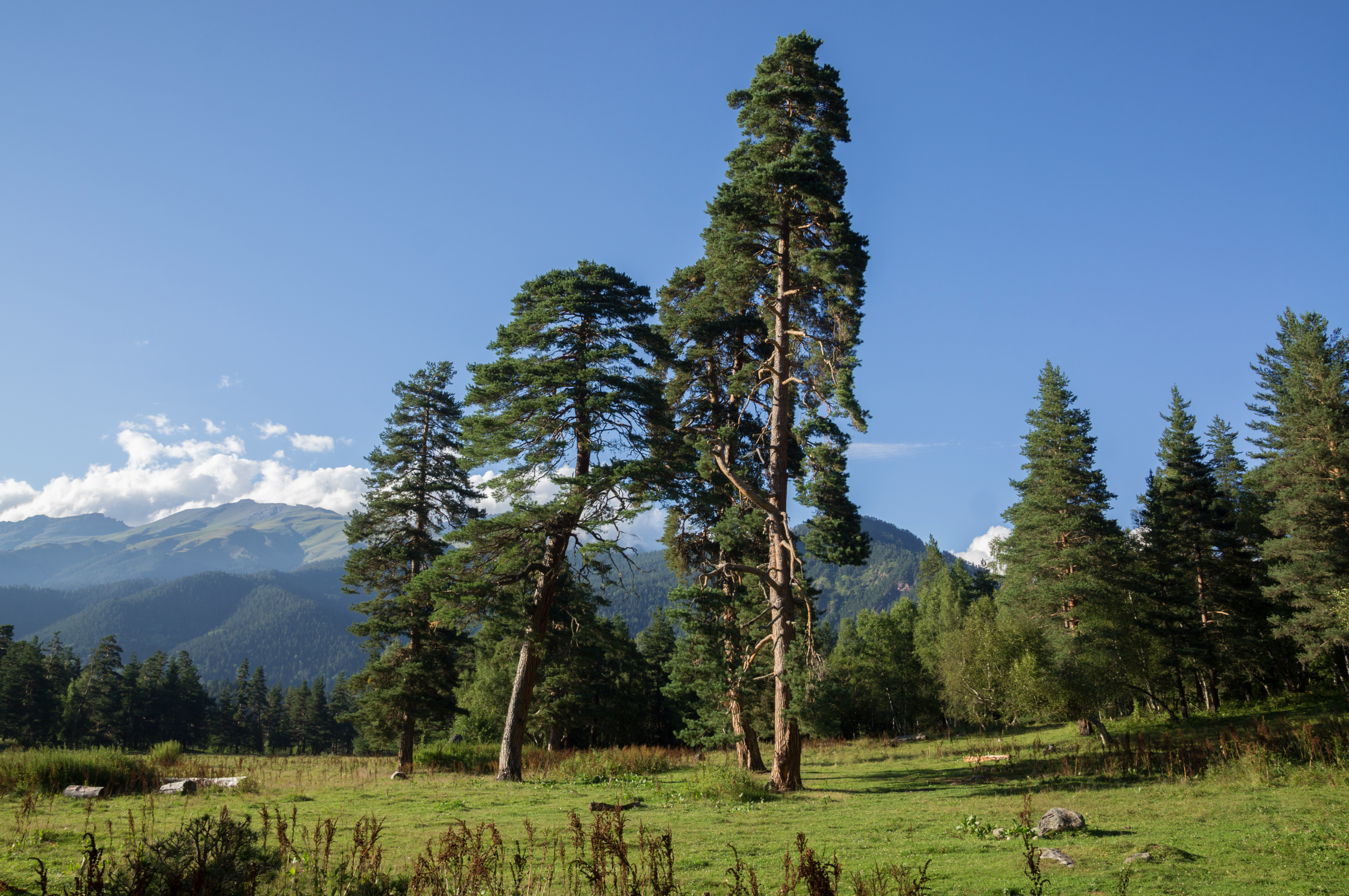
Taulu, Karachay-Cherkessia, Mountains of Western Caucasus.
Summary[edit]
| Description |
English: Taulu, Arkhyz, Karachay-Cherkessia, Western Caucasus, Russia.
Русский: Поляна Таулу, место слияния рек София и Псыш. Архыз, Карачаево-Черкесия, Западный Кавказ, Россия. |
| Date | |
| Source | Own work |
| Author | Vyacheslav Argenberg |
| Camera location | | View this and other nearby images on: OpenStreetMap |
|---|

|
This image was taken by Vyacheslav Argenberg
If you have any questions, comments or queries, please contact me. |

|
Licensing[edit]
Vyacheslav Argenberg, the copyright holder of this work, hereby publishes it under the following license:
This file is licensed under the Creative Commons Attribution 4.0 International license.
Attribution: © Vyacheslav Argenberg / http://www.vascoplanet.com/
- You are free:
- to share – to copy, distribute and transmit the work
- to remix – to adapt the work
- Under the following conditions:
- attribution – You must give appropriate credit, provide a link to the license, and indicate if changes were made. You may do so in any reasonable manner, but not in any way that suggests the licensor endorses you or your use.
This image was uploaded as part of Russian Science Photo Competition 2021.
|
This image has been assessed using the Quality image guidelines and is considered a Quality image.
|
File history
Click on a date/time to view the file as it appeared at that time.
| Date/Time | Thumbnail | Dimensions | User | Comment | |
|---|---|---|---|---|---|
| current | 12:17, 7 February 2021 | | 4,912 × 3,264 (9.67 MB) | Argenberg (talk | contribs) | Uploaded own work with UploadWizard |
You cannot overwrite this file.
File usage on Commons
The following 11 pages use this file:
- User:Velopilger/2021, 07. February
- Commons:Quality images/Subject/Places/Natural structures/archive 2021
- Commons:Quality images candidates/Archives March 14 2021
- Category:Geography of Karachay-Cherkessia
- Category:Karachay-Cherkessia
- Category:Maps of Karachay-Cherkessia
- Category:People of Karachay-Cherkessia
- Category:Rivers of Karachay-Cherkessia
- Category:Sports in Karachay-Cherkessia
- Category:Transport in Karachay-Cherkessia
- Category:Views of Karachay-Cherkessia
File usage on other wikis
The following other wikis use this file:
- Usage on ar.wikipedia.org
- Usage on arz.wikipedia.org
- Usage on ast.wikipedia.org
- Usage on az.wikipedia.org
- Usage on ca.wikipedia.org
- Usage on ce.wikipedia.org
- Usage on cs.wikipedia.org
- Usage on de.wikivoyage.org
- Usage on diq.wikipedia.org
- Usage on eu.wikipedia.org
- Usage on fi.wikipedia.org
- Usage on fi.wiktionary.org
- Usage on fr.wikivoyage.org
- Usage on ga.wikipedia.org
- Usage on gl.wikipedia.org
- Usage on he.wikipedia.org
- Usage on hy.wikipedia.org
- Usage on ka.wikipedia.org
- Usage on lmo.wikipedia.org
- Usage on lv.wikipedia.org
- Usage on mhr.wikipedia.org
- Usage on myv.wikipedia.org
- Usage on mzn.wikipedia.org
- Usage on no.wikipedia.org
- Usage on os.wikipedia.org
- Usage on pl.wikipedia.org
- Usage on pt.wikipedia.org
- Usage on ru.wikipedia.org
- Usage on ru.wikinews.org
- Usage on sl.wikipedia.org
- Usage on sr.wikipedia.org
- Usage on uk.wikipedia.org
- Usage on www.wikidata.org