File:Arrondissement de Fougères-Vitré.png
Jump to navigation
Jump to search

Size of this preview: 800 × 596 pixels. Other resolutions: 320 × 239 pixels | 640 × 477 pixels | 1,024 × 763 pixels | 1,280 × 954 pixels | 2,235 × 1,666 pixels.
Original file (2,235 × 1,666 pixels, file size: 197 KB, MIME type: image/png)
Captions
Captions
Add a one-line explanation of what this file represents
Summary
[edit]
| Description |
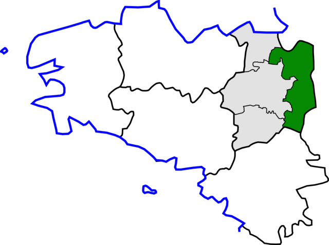
English: Map for localization of arrondissement of Fougères-Vitré in Brittany, after the administrative reorganization in October 2010.
Français : Carte de localisation de l’arrondissement de Fougères-Vitré en Bretagne, suite à la réorganisation administrative d’octobre 2010. |
| Source | Own work |
| Author | Pymouss, d’après File:Arrondissement de Rennes.png et File:Ille-et-Vilaine cantons.svg |
Licensing
[edit]
I, the copyright holder of this work, hereby publish it under the following licenses:

|
Permission is granted to copy, distribute and/or modify this document under the terms of the GNU Free Documentation License, Version 1.2 or any later version published by the Free Software Foundation; with no Invariant Sections, no Front-Cover Texts, and no Back-Cover Texts. A copy of the license is included in the section entitled GNU Free Documentation License. |
This file is licensed under the Creative Commons Attribution-Share Alike 3.0 Unported license.
- You are free:
- to share – to copy, distribute and transmit the work
- to remix – to adapt the work
- Under the following conditions:
- attribution – You must give appropriate credit, provide a link to the license, and indicate if changes were made. You may do so in any reasonable manner, but not in any way that suggests the licensor endorses you or your use.
- share alike – If you remix, transform, or build upon the material, you must distribute your contributions under the same or compatible license as the original.
You may select the license of your choice.
File history
Click on a date/time to view the file as it appeared at that time.
| Date/Time | Thumbnail | Dimensions | User | Comment | |
|---|---|---|---|---|---|
| current | 15:39, 15 October 2010 | | 2,235 × 1,666 (197 KB) | Pymouss (talk | contribs) | == int:filedesc == {{Information |Description={{br|1=Kartenn lec'hiañ br:arondisamant Felger-Gwitreg e Breizh, goude an adreizhadur 2010.}} {{en|1=Map for localization of en:arrondissement of Fougères-Vitré in [[Brittany] |
You cannot overwrite this file.
File usage
The following page uses this file:
Global file usage
The following other wikis use this file:
- Usage on cs.wikipedia.org
- Usage on es.wikipedia.org
- Usage on it.wikipedia.org
- Usage on lb.wikipedia.org
- Usage on pl.wikipedia.org
- Usage on sl.wikipedia.org
- Usage on sq.wikipedia.org