File:Arrondissement de Laon - Canton de Chauny.PNG
Jump to navigation
Jump to search
No higher resolution available.
Arrondissement_de_Laon_-_Canton_de_Chauny.PNG (572 × 483 pixels, file size: 18 KB, MIME type: image/png)
Captions
Captions
Add a one-line explanation of what this file represents
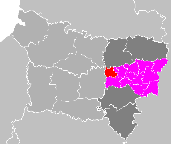
| Description | Maps of arrondissements and cantons of France: Arrondissement de Laon |
| Date | |
| Source | Own work |
| Author | M.Minderhoud |
| I, the copyright holder of this work, release this work into the public domain. This applies worldwide. In some countries this may not be legally possible; if so: I grant anyone the right to use this work for any purpose, without any conditions, unless such conditions are required by law. |
File history
Click on a date/time to view the file as it appeared at that time.
| Date/Time | Thumbnail | Dimensions | User | Comment | |
|---|---|---|---|---|---|
| current | 20:49, 28 May 2009 | | 572 × 483 (18 KB) | Olivier Voulpaix (talk | contribs) | Modification de la limite des cantons de Laon-Nord et Laon-Sud à partir de [http://www.aisne.com/images/conseillers/carte_aisne.gif] |
| 12:55, 13 April 2007 |  | 572 × 483 (18 KB) | Michiel1972 (talk | contribs) | {{Information |Description= Maps of arrondissements and cantons of France: Arrondissement de Laon |Source= |Date=april 2007 |Author= M.Minderhoud |Permission= |other_versions= }} {{PD-self}} [[Category:Maps of arrondissem |
You cannot overwrite this file.
File usage on Commons
There are no pages that use this file.
File usage on other wikis
The following other wikis use this file:
- Usage on fr.wikipedia.org
- Usage on lb.wikipedia.org
- Usage on sl.wikipedia.org