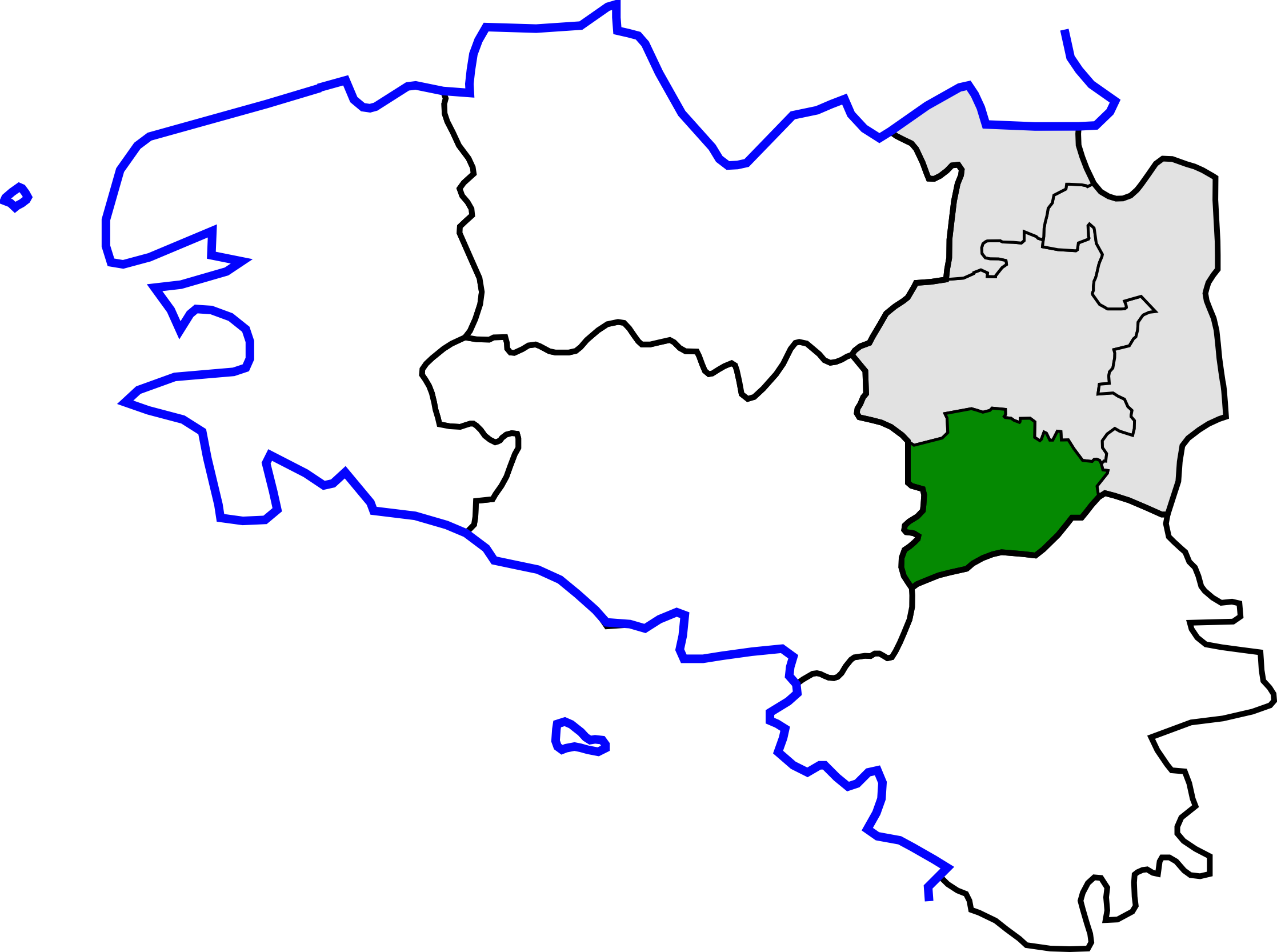
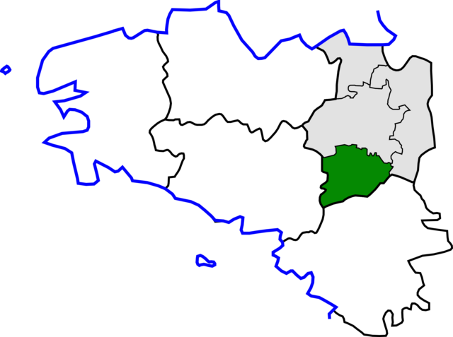
File:Arrondissement de Redon.png
Jump to navigation
Jump to search
Size of this preview: 800 × 596 pixels. Other resolutions: 320 × 239 pixels | 640 × 477 pixels | 1,024 × 763 pixels | 1,280 × 954 pixels | 2,235 × 1,666 pixels.
Original file (2,235 × 1,666 pixels, file size: 198 KB, MIME type: image/png)
Captions
Captions
Add a one-line explanation of what this file represents
Summary[edit]
| Description | |
| Date | |
| Source | Own work based on File:Canton de Briec(Position).png and File:Ille-et-Vilaine cantons.svg |
| Author | Yun |
.png)
Licensing[edit]
| I, the copyright holder of this work, release this work into the public domain. This applies worldwide. In some countries this may not be legally possible; if so: I grant anyone the right to use this work for any purpose, without any conditions, unless such conditions are required by law. |
File history
Click on a date/time to view the file as it appeared at that time.
| Date/Time | Thumbnail | Dimensions | User | Comment | |
|---|---|---|---|---|---|
| current | 15:07, 15 October 2010 | | 2,235 × 1,666 (198 KB) | Pymouss (talk | contribs) | == int:filedesc == == int:filedesc == Hizivadur goude an adreizhadur 2010 / Update 2010 |
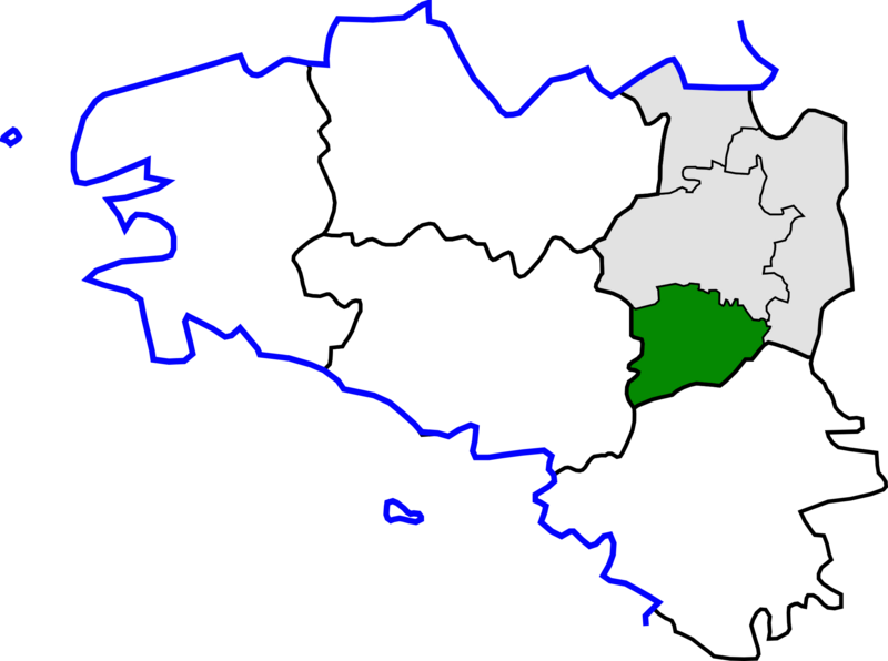
| 21:51, 30 March 2010 |  | 418 × 314 (36 KB) | Yun (talk | contribs) | {{Information |Description={{br|1=Kartenn lec'hiañ arondisamantoù Breizh, er Frañs}} {{en|1=Map for localisazion of arrondissements of Brittany, in France}} |Source=Own work based on [[:File:Canton de Briec(Posit |
You cannot overwrite this file.
File usage
There are no pages that use this file.
Global file usage
The following other wikis use this file:
- Usage on fr.wikipedia.org
- Usage on pl.wikipedia.org
- Usage on sq.wikipedia.org