File:Arrowsmith Oregon Country.jpg
Jump to navigation
Jump to search

Size of this preview: 523 × 600 pixels. Other resolutions: 209 × 240 pixels | 419 × 480 pixels | 670 × 768 pixels | 893 × 1,024 pixels | 2,552 × 2,926 pixels.
Original file (2,552 × 2,926 pixels, file size: 1.65 MB, MIME type: image/jpeg)
Captions
Captions
Add a one-line explanation of what this file represents
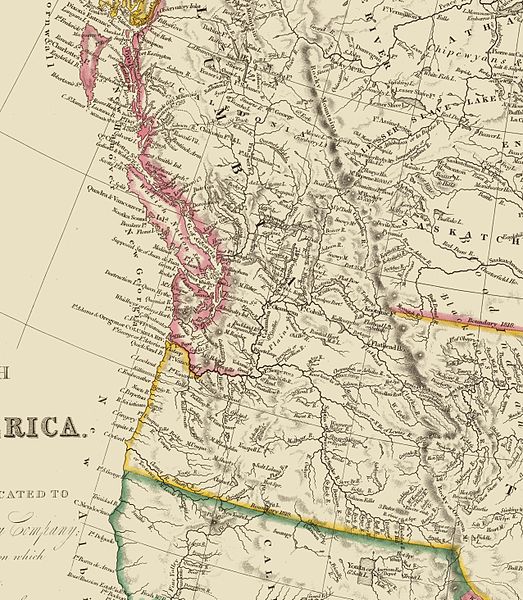
| Description | A crop of a map of British North America (Canada) drawn in 1844 by John Arrowsmith, showing the Oregon Territory. |
| Date | |
| Source | 13 MB SID file from the David Rumsey Map Collection |
| Author | John Arrowsmith (1780 – 1873) |
|
This work is in the public domain in its country of origin and other countries and areas where the copyright term is the author's life plus 70 years or fewer. | |
| This file has been identified as being free of known restrictions under copyright law, including all related and neighboring rights. | |
File history
Click on a date/time to view the file as it appeared at that time.
| Date/Time | Thumbnail | Dimensions | User | Comment | |
|---|---|---|---|---|---|
| current | 09:49, 10 April 2006 | | 2,552 × 2,926 (1.65 MB) | Lupo (talk | contribs) | A crop of a map of British North America (Canada) drawn in 1844 by John Arrowsmith, showing the Oregon Territory. Immediate image source: [http://www.davidrumsey.com/rumsey/download.pl?image=/D0026/4613040.sid 13 MB SID file from the David Rumsey Map Col |
You cannot overwrite this file.
File usage on Commons
There are no pages that use this file.
File usage on other wikis
The following other wikis use this file:
- Usage on de.wikipedia.org
- Usage on en.wikipedia.org
- Usage on ja.wikipedia.org
- Usage on nl.wikipedia.org
- Usage on ru.wikipedia.org