File:Arundel BN18, UK - panoramio (2).jpg
Jump to navigation
Jump to search
Size of this preview: 800 × 533 pixels. Other resolutions: 320 × 213 pixels | 640 × 427 pixels | 1,024 × 683 pixels | 1,280 × 853 pixels | 2,560 × 1,707 pixels | 4,320 × 2,880 pixels.
Original file (4,320 × 2,880 pixels, file size: 2.81 MB, MIME type: image/jpeg)
Captions
Captions
Add a one-line explanation of what this file represents
Summary
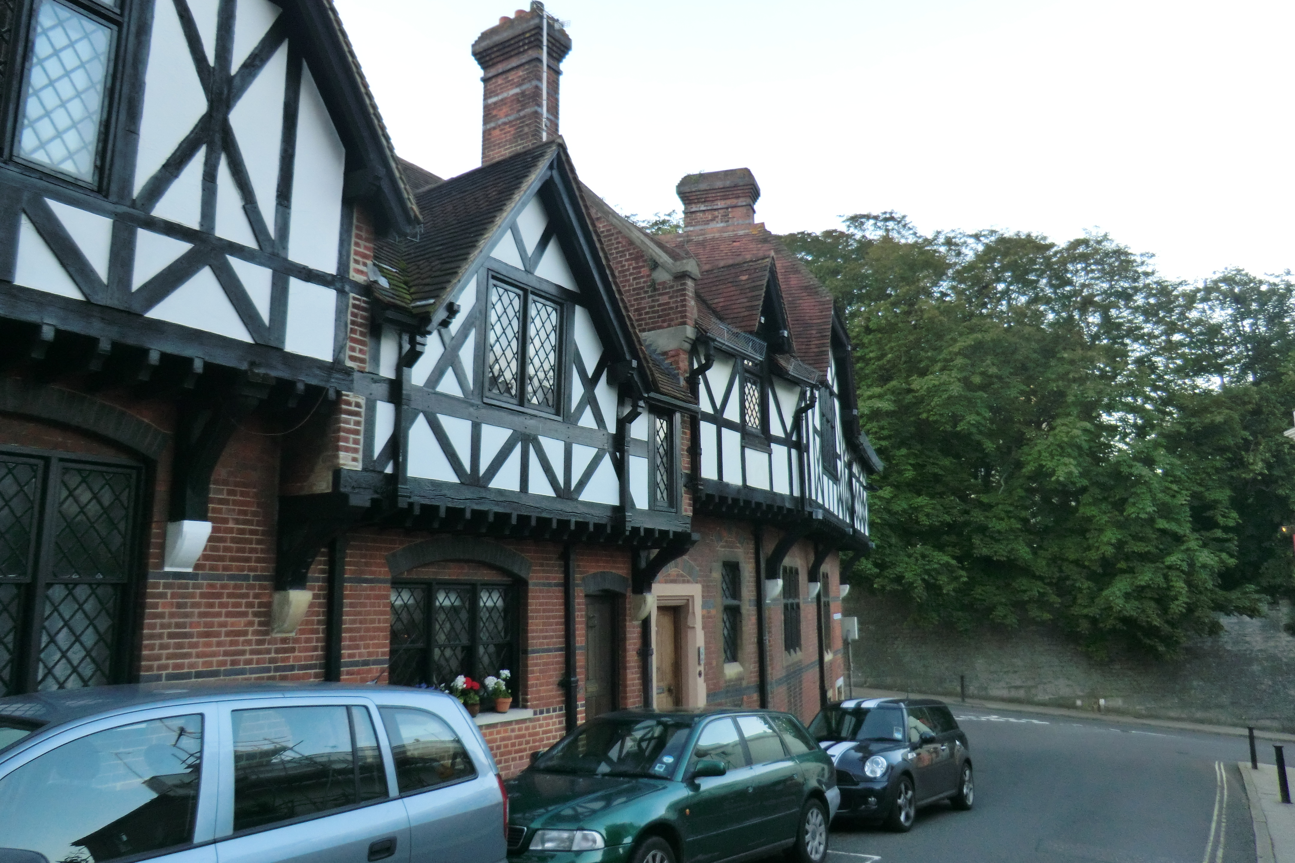
[edit]| Description | Arundel BN18, UK | ||
| Date | Taken on 9 July 2012 | ||
| Source | https://web.archive.org/web/20161025134204/http://www.panoramio.com/photo/84695145 | ||
| Author | DizzyDJC | ||
| Permission (Reusing this file) |
This file is licensed under the Creative Commons Attribution 3.0 Unported license. Attribution: DizzyDJC
|
||
| Tags (from Panoramio photo page) | Arundel, 2012 |
| Camera location | | View this and other nearby images on: OpenStreetMap |
|---|

.jpg&action=edit§ion=1)
.jpg¶ms=050.855040_N_-000.555392_E_globe:Earth_type:camera_source:Panoramio_&language=en)
.jpg&action=edit&withJS=MediaWiki:Catcheck.js)
File history
Click on a date/time to view the file as it appeared at that time.
| Date/Time | Thumbnail | Dimensions | User | Comment | |
|---|---|---|---|---|---|
| current | 03:03, 11 February 2017 | | 4,320 × 2,880 (2.81 MB) | Panoramio upload bot (talk | contribs) | == {{int:filedesc}} == {{Information |description=Arundel BN18, UK |date={{Taken on|2012-07-09}} |source=http://www.panoramio.com/photo/84695145 |author=[http://www.panoramio.com/user/3163898?with_photo_id=84695145 DizzyDJC] |permission={{cc-by-3.0|Diz... |
You cannot overwrite this file.
File usage on Commons
There are no pages that use this file.
.jpg&oldid=804575837)